Aperte le iscrizioni e la sottomissione degli abstract
Tutte le info e il programma
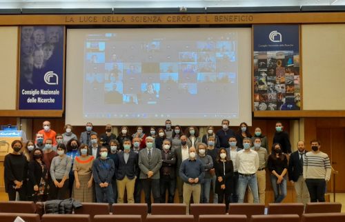
IIª Edizione Workshop IRPI
Programma
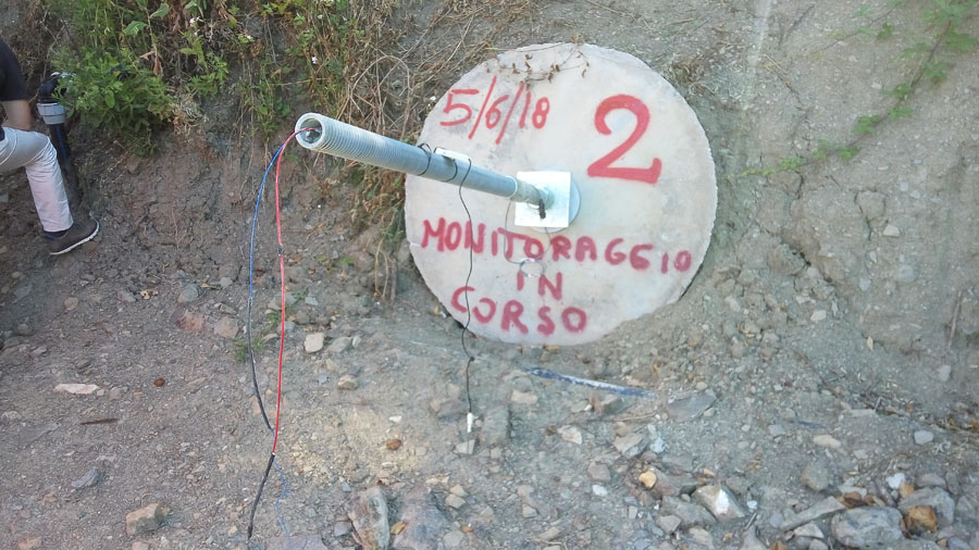
Fiber optic sensors engineering …
... for the monitoring of structural reinforcements on unstable slopes
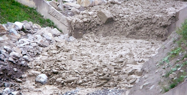
Debris flows in the Gadria Creek
CNR IRPI is involved in the research on debris flows in the Gadria Creek
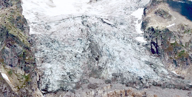
We monitor the Planpincieux Glacier
We use a high-resolution optical-based system to study the evolution of the Planpincieux glacier
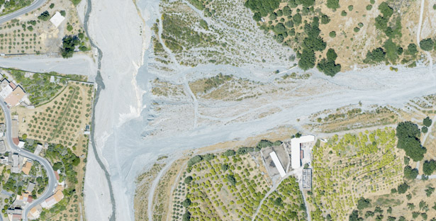
Active alluvial fans in Calabria, Southern Italy
Active Inerà alluvial fan located at the confluence of T. Inerà with the Fiumara di Mèlito.
Are you ready?
We provide general advice on what to do (and not do) before, during and after an event.
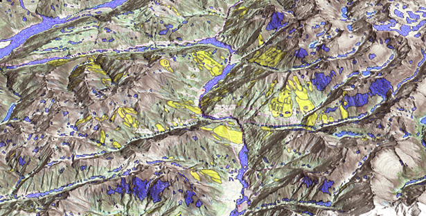
Where we should not expect landslides?
A method for the selection of non-susceptible landslide areas ...
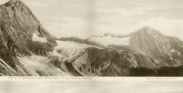
The Bessanese Glacier and its left moraine
Photograph taken by M.Gabinio on Sep.3rd,1900. In: Sacco F. (1928) – Il glacialismo nelle Valli di Lanzo.
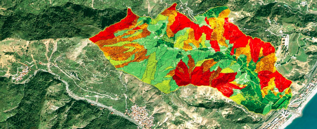
Landslide Susceptibility Model & Map
A landslide susceptibility model predicts where landslides are expected to occur.

3D Surface Deformation Modelling
3D Finite Element model for an active landslide near Assisi.
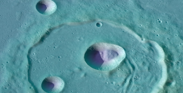
Landslides in the Solar System
We map and study landslides on the Moon, Mercury and Mars.

Landslide inventory map for the Giampilieri area, Sicily
The map shows landslides caused by the October 2009 rainfall event.

Flooding of the Polesine area, Veneto, in 1951
The Malacantone levee break in the Occhiobello Municipality.
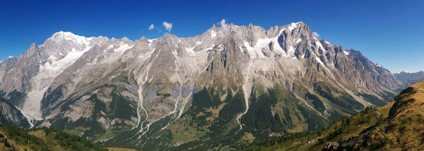
Mont Blanc massif (view from Mont de la Sax)
Photo by Daniele Giordan (CNR IRPI - Torino Office)

Landslide event inventory map for Kaopin, Taiwan
An event landslide inventory map shows the location and extent of landslides caused by a trigger.
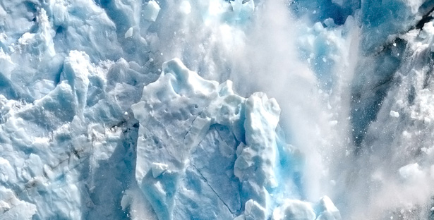
“The late Holocene fever”
A huge fall of an ice block of the Perito Moreno glacier (Santa Cruz, Argentina)
News
- Geomorphometry 2025, 8th edition of the conference organized by CNR IRPI
- Frane: l'IRPI ai Lincei per la XLII Giornata dell'Ambiente tra conoscenza e prevenzione
- Ricerca ambientale e sfide globali: ad Ancona la conferenza del CNR-DSSTTA
- Studio Nature Water: l'irrigazione agricola ricarica le falde in Pianura Padana
Media
- Rompere le barriere: le donne nella scienza e la lotta per il riconoscimento
- Una sinergia efficace per la mitigazione del rischio frana
- Contro siccità e alluvioni l’imperativo è programmare
- «Scontiamo in Calabria un inverno poco piovoso»
- La Calabria fa i conti con la “sete”
Calls
At present, we do not have any open calls.


