Campania
The coloured circles represent the total number of activities (project, products and services, outreach, collaborations) that we have in the corresponding geographical zone
Map data: © OpenStreetMap contributors
Characterization, modelling and monitoring
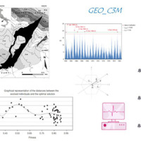 The project concerns the mitigation of natural hazards (mainly the effects on the territory and the anthropic environment caused by rains, earthquakes, volcanism, and Radon gas). The geological characterization is essential to frame the contexts and the expected phenomena. Numerical modeling and monitoring allow to predict the spatio-temporal evolution of the phenomena, and therefore to evaluate the risk for mitigation ...
 Progetto PON Governance
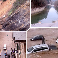 Il progetto prevede un’attività di servizio e di supporto tecnico scientifico per la realizzazione di progetti standard che affrontano i temi della pianificazione comunale di protezione civile e degli strumenti che possono rendere maggiore la sua efficacia. Il progetto propone uno schema che consente di definire, con metodologia rigorosa e omogenea, le attività da svolgere e il modo in cui svolgerle, per la realizzazione di un modello di ...
 Cnr, in trent’anni 215 morti per frane e inondazioni
Frane e alluvioni, IRPI-CNR: in Campania registrati 215 morti in 30 anni
Dissesto idrogeologico. L’Italia di nuovo alle prese con pioggia e frane
Civil Protection Competence Centre on Geo-Hydrological Risk
 In Italy landslides and floods are frequent, widespread and dangerous phenomena, that cause fatalities and serious economic damage. In our country, landslides and floods pose major problems of scientific interest and of social and economic relevance.
The Institute is a Competence Centre for the Italian national Civil Protection Department, an Office of the Prime Minister. For the Department of Civil Protection we execute research and ...
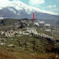
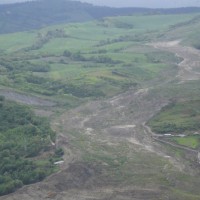
 Sulla frana di Castelfranci interviene il CNR. Indagini scientifiche dell’IRPI
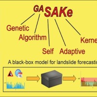
Spatially distributed modelling of landslide phenomena
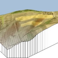 The application of distributed physically based models is possible on relatively small areas, typically hundreds or few thousands of km2. Distributed modelling of slope dynamics requires many sufficiently detailed information. Knowledge of geotechnical parameters and land use, digital terrain models, medium/high resolution cartography, temporal evolution of soil moisture conditions, are ...
 Geothermal Atlas of Southern Italy Project
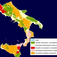 The Geothermal Atlas project is aimed at the characterization, classification and mapping of geothermal resources, conventional and unconventional types, for the production of electricity in the regions of Southern Italy. It also provides training and information stretched to increase the skills of the industry and the public's knowledge about the various aspects of geothermal energy, especially the unconventional, in order to promote the ...
 La Ricerca ITaliana per il MARE
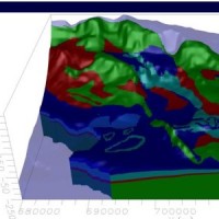 UK The Italian maritime cluster represents for Italy an important economic sector contributing to 2.6% of national GDP, 11% of production in the industry of transport, and using almost 1% of the units of work identified in the country, share as high as 2% including the impact of upstream and downstream, for a total of around 480,000 employees (Cluster and maritime development in Italy and in the regions CENSIS - September 2011). In the European ...
 Evaluating the geothermal potential in the Southern Regions of Italy
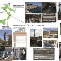 VIGOR contributed to increasing knowledge in exploitation of geothermal resources. It was aimed at providing information useful to start exploration and utilization of geothermal energy, through reconnaissance, analyses and studies, valorise geothermal resources in Calabria, Campania, Puglia and Sicily.
In particular, geological and geothermal characterization were carried both at regional scale (i.e. maps of geothermal potential) and at the ...


