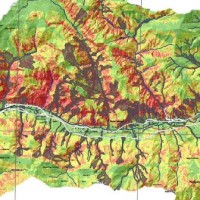
Il progetto FP7 LAMPRE - Landslide Modelling and tools for vulnerability assessment Preparedness and Recovery management svolge attività di ricerca innovative e di sviluppo tecnologico per migliorare le capacità del sistema Copernicus di far fronte a eventi di frana e alle loro conseguenze, in Europa e in altre parti del mondo. LAMPRE migliora il rischio di frana sforzi di mitigazione / preparazione e le attività di recupero e di ...
To significantly contribute to the operational capacities in the context of Global Monitoring for Environment and Security (GMES)/ Copernicus by developing customised mapping and geo-information products addressing risk, vulnerability and assets ready for deployment in the prevention and preparedness phases – complementary to the GMES/Copernicus Emergency Management Service. Solutions to be provided are based for the most part on Earth ...
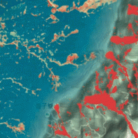
DORIS - Ground Deformations Risk Scenarios: an advanced assessment service is an advanced downstream service for the detection, mapping, monitoring and forecasting of ground deformations, at different temporal and spatial scales and in various physiographic and climatic and environments. DORIS integrates traditional and innovative Earth Observation (EO) and ground based (non-EO) data and technologies to improve our understanding of the ...
