
Smart Monitoring of basins subject to high geohydrological risk
(SMoRI)
Background
The R&D project SMoRI starts from two needs to be reconciled. The first, coming from the scientific community, concerns a best definition of integrated monitoring systems aimed at controlling the conditions of high geo-hydrological risk. The second need is to acquire by the industrial partners a specialized know-how on new technologies related to Cloud Computing and I.o.T. and on the environmental sensors.
Purpose
The aim of the project is to design and implement an integrated system for monitoring the various phenomena determining high hydrogeological risk conditions within a basin. The system uses environmental sensors able to detect the parameters useful for a subsequent assessment of the geohydrological risk of a territory. The survey activity also includes specialized skills related to data transmission and security protocols.
Methods
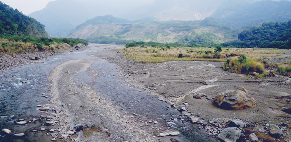
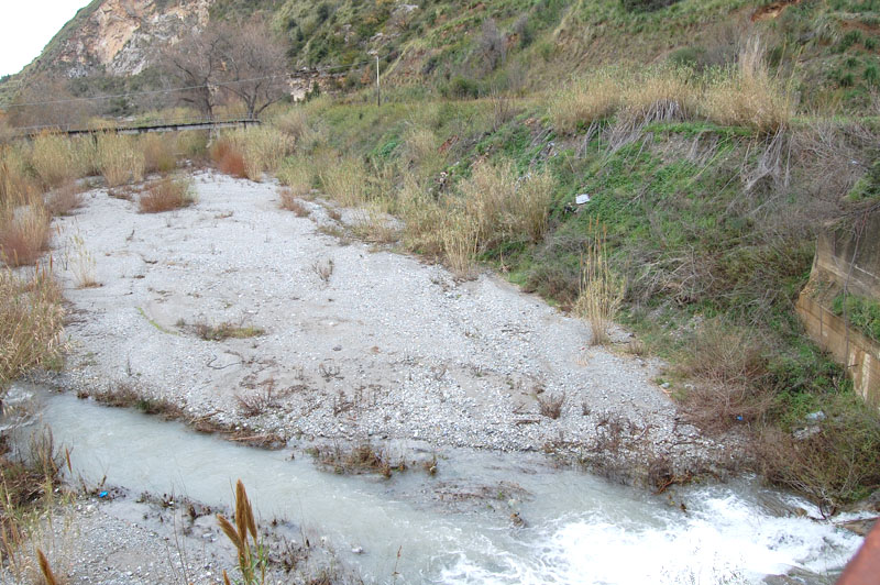
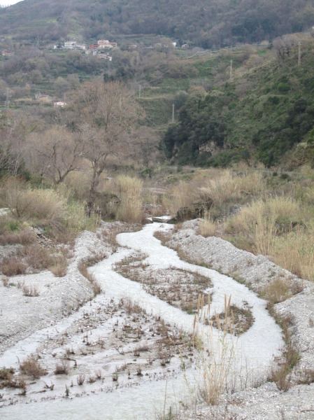
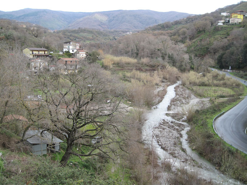
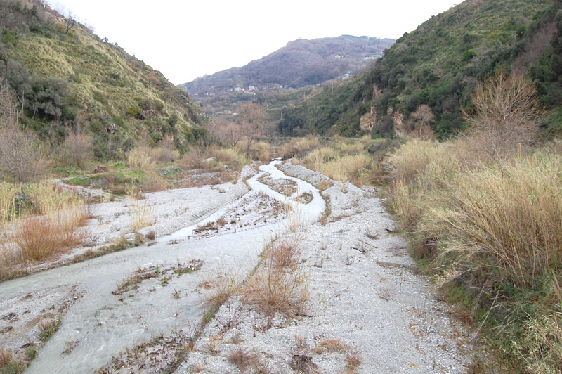
The system will have to implement a multicomponent methodology aimed at monitoring, both individually and in a synergic way, the different phenomena that determine high hydrogeological risk conditions. The system will monitor: a) rainfall data; b) slope dynamics; c) quantities of sediment produced by the various processes affecting the slopes; d) liquid and solid flow rates of rivers; e) processes of sediment deposit near the coastal strip.
Results
The system will have to integrate in a single cloud the data coming from the sensors and the other monitoring systems set up for the purposes of the project. It must be also integrated with weather forecasting models able to reproduce scenarios of triggering slopes instabilities.
Products
As a product, the system to be implemented in the project must be able to provide “Software as a Service” (SaaS), for alert purposes too. To calibrate and validate the whole system, one or more study areas will be chosen, based on a selection protocol that will take into account both the geomorphological, hydrological, hydraulic characteristics and the implications on coastal dynamics, and the presence of anthropic settlements and infrastructures determining risk situations.
Conclusions
The integrated system, that will be calibrated and validated in the project on one or more study areas, can be successively applied to other basins and then extremely useful to those institutions that are interested to the assessment and monitoring of the various phenomena determining geohydrological risk conditions, in prevention and forecasting activities (Civil Protection, local authorities, regional or over-regional structures).
 Internal contact person: roberto coscarelli -