GIS technologies for managing sinkhole hazard
Use of GIS technologies to manage sinkhole hazards in Apulia, southern Italy.
Background
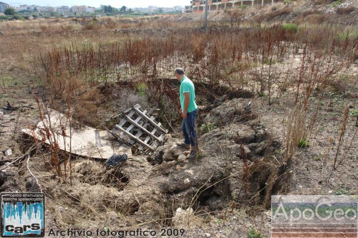
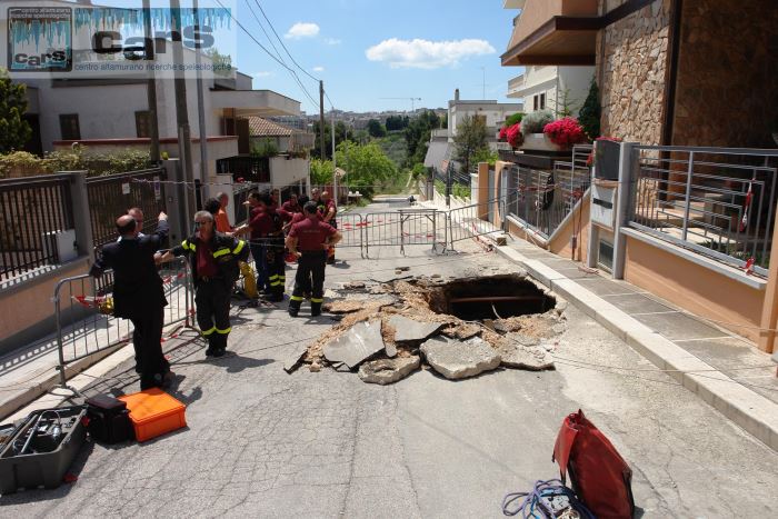
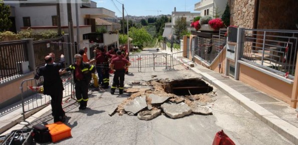
The widespread sinkholes that involve large sectors of the Apulian territory are related to natural cavities produced by karst processes in soluble rocks, or to man-made cavities deriving from different types of human activities in different historical ages. The related hazard is extremely high, with very severe damage to built-up areas and human infrastructures, and heavy losses to the society.
Purpose
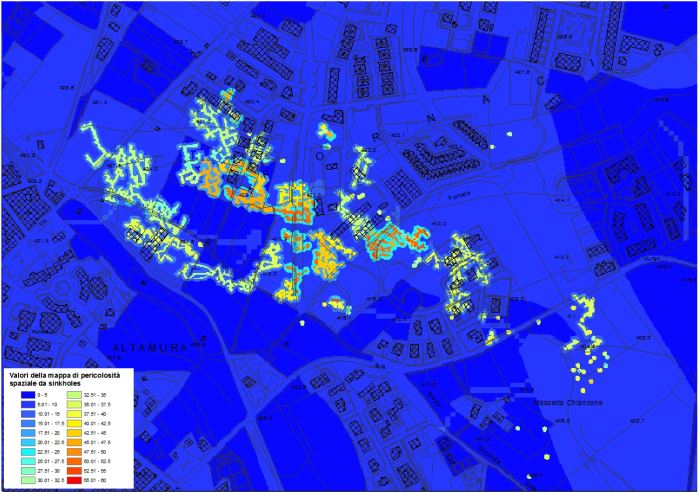
Designing and implementing a Geographic Information System that comprises all the significant data regarding the sinkholes occurring in a sample area, that is the territory of Altamura.
Methods
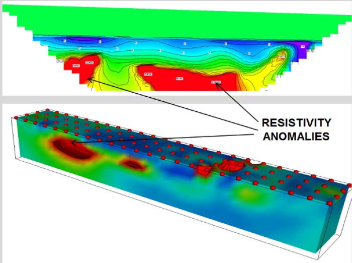
The methods used for collecting the data about sinkholes at Altamura included a careful research of all the existing documentation about the factors involved in the development of sinkholes. Further, a number of data from geognostic prospections was also used, and a high level of knowledge was thus reached.
Results
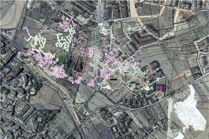
A geo-database was developed, once the main criteria for its population were defined. Specifically, a protocol for data acquisition was established, aimed at put all the relevant information in a GIS environment, by adopting the convention of WGS 84 coordinates. Data have been organized sub-dividing the information into different thematic groups (feature dataset) that comprise specific layers of the database.
Products
Thematic maps in the territory of Altamura. Design and implementation of a GIS dedicated to management of data concerning the sinkhole occurrence, and the related predisposing factors. Sinkhole susceptibility maps.
Conclusions
The present project described the methodologies used to reach the present level of knowledge, and the management actions of the data in GIS environment. Such data organization may be crucial for the identification of the sites most prone to sinkholes. Through this activity, a possible starting point for supporting mitigation measures and correctly manage the territory in a highly urbanized setting is provided.