
Study and monitoring activities on Arzeno landslide – Municipality of Ne (GE)
Background
The Municipality of Ne (GE) is involved by an important landslide in the Arzeno and Prato di Reppia areas. The phenomenon is monitored using standard techniques for some years. The goals of this study is increasing the knowledge of the phenomenon using automatic monitoring systems
Purpose
The goal of the study is to increase the knowledge of the landslide through advanced monitoring techniques.
Methods
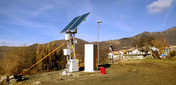
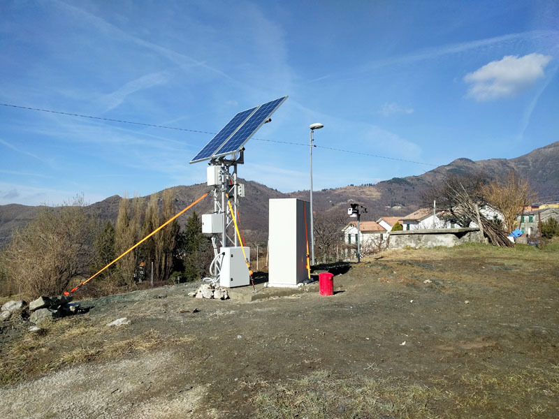
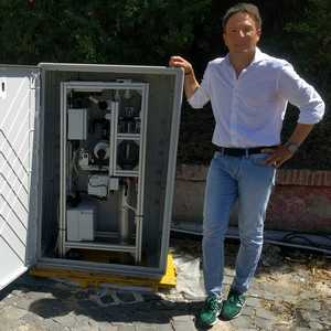
Use of a robotized inclinometer system developed and patented by the CNRI IRPI (Pat. UIBM 0001391881/2012) and use of wireless piezometric sensor networks.
Results
The expected results are: describing the trend of the depth displacements and to search the correlations with the piezometric level and rainfalls.
Products
Inclinometric and piezometric monitoring data in near real time.
Conclusions
The study aims to characterize the deep deformations trend and the relationships with the underground circulation and the rainfalls.
 Internal contact person: paolo allasia -