
Study of the riverbeds morphological evolution through the digital terrain models multi-temporal analysis
Background
The study of the evolution of the watercourses is traditionally based on the use of historical maps and aerial photographs for the comprehension of the planimetric changes and on the use of topographical sections in order to have also the measure of the altimetric change occurred in the considered time interval.
Through this approach it is possible, for the Po basin, to have the first indications of the main watercourses evolution starting from the late 1700s and, with the progress of technology, to obtain a more accurate description of their morphology for the more recent periods. With the introduction of the aerial photographs the available information increased exponentially and they gave the opportunity to have a stereoscopic vision of the investigated area and to carry out an in-depth morphological and morphometric analysis. However, this approach allowed the reconstruction of the planimetric evolution of the watercourses and the topographic section were used to have a punctual indication also of the vertical changes of the rivers. The introduction of LiDAR introduced the possibility to survey on large areas a high-resolution digital terrain model. The high 3D accuracy of the DEM has also allowed us to start a three dimensional multi- temporal analysis aimed to identify the morphological changes occurred and to measure them.
Purpose
The project had as its primary objective the development of a methodology for the use of LiDAR data for the study of the morphological evolution of the watercourses through a quantitative approach that was able to measure the morphological changes that occurred to river reaches. Through a quantitative approach, the developed methodology was also able to achieve a balance of the volumetric changes of the considered river reaches in the time period analyzed. The analyzed river reaches are: Pellice, Chisone, Malone, Orco (Regione Piemonte), Adda (regione Lombardia), Taro, Secchia, Panaro (regione Emilia Romagna), e i tratti del fiume Po di Pontelagoscuro e Po di Tolle. The considered time interval is different for each river reach and between 2003 and 2010.
Methods
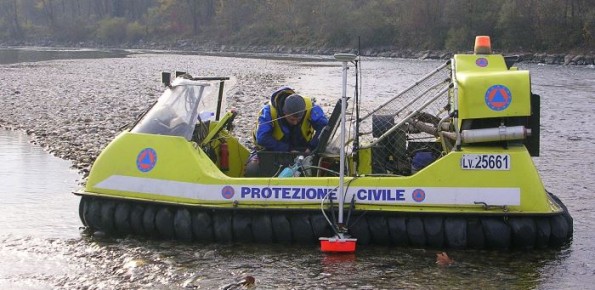
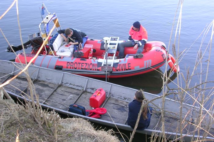
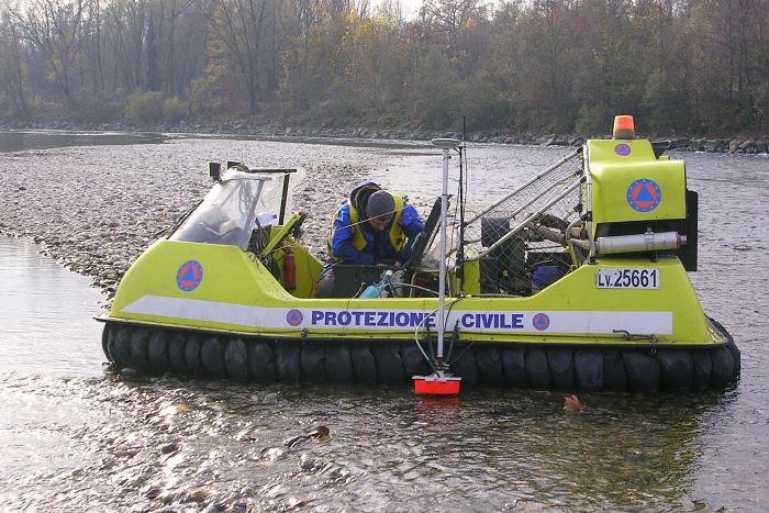
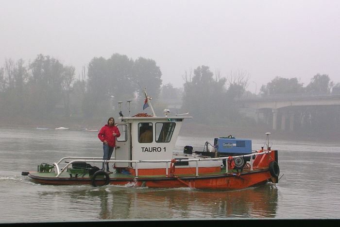
The study used both the historical maps that the LiDAR surveys to obtain bi/three-dimensional reconstruction of the reverbed topography. The comparison between the different surveys allows us to recognize the rivers reaches evolution and to measure the volumetric changes occurred in the time period considered. All collected data were organized and managed in a geographic information system designed specifically. In addition to the use of LiDAR were also conducted bathymetric campaigns with single/multi-beam aimed at obtaining a continuous and complete digital elevation model.
Results
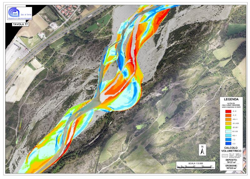
The study had obtained the following results: i) the development of a methodology for the survey of water courses aimed to get a complete digital terrain model (merging the emerged portion survey with the submerged one); ii) the development of a method for the multi-temporal DTM comparison; iii) the definition of a classification that considers the relationship between the main morphological features of the river reaches and the way to obtain a continuous and complete DTM. The defined method also allowed us to recognize and to measure the volumetric changes that occurred in the considered period.
Products
For each analyzed river reach was redacted a final report with the description of the morphological evolution identified using historical maps, aerial photos and DTMs. All the collected data were included in a dedicated GIS and organized in thematic maps. The developed approach also allowed making a budget of the volumetric variations occurred.
Conclusions
The project was aimed at the study of the morphological evolution of several river reaches of the Po basin through a quantitative approach. The use of the DTM derived from LiDAR surveys allowed us to recognize the morphological changes related to bed load. In total were surveyed more than 300 km2 of the Po basin river reaches.
 Internal contact person: giorgio lollino -