
Spectral signatures library for semi-automatic event landslide recognition and mapping
Background
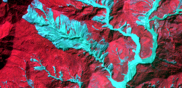
Earthquakes and strong rainfall precipitations, cause worldwide landslide. Inventories of the ground effects of an event must be prepared in a few days or less for the residual risk management. Satellite images and image analysis techniques have started to back up traditional mapping methods. Purpose of this project is to increase the automatization of image analysis.
Purpose
To avoid the manual choice of sample areas in the training of supervised classifications.
Methods
Construction of a library of landslide spectral fingerprints according to the different soil properties and conditions.
Results
Expected: landslide spectral library