The 3 December 2013 Montescaglioso landslide
Monitoring and geomorphological analysis of the 3 December 2013 Montescaglioso landslide (Matera, Basilicata).
Background
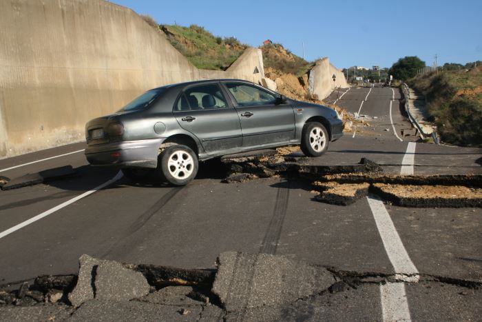
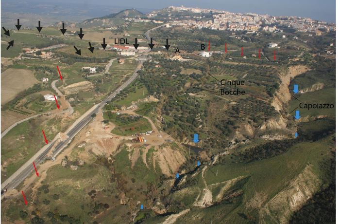
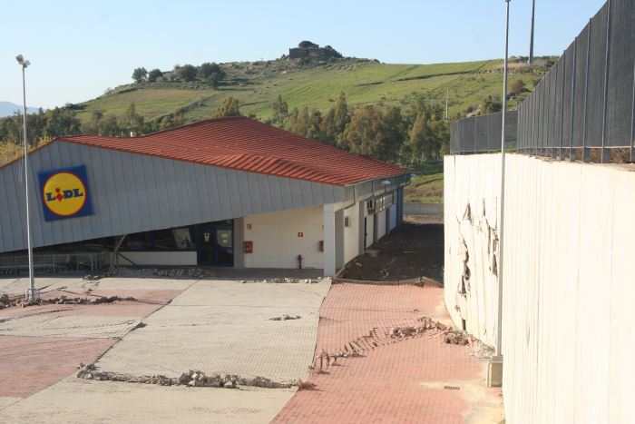
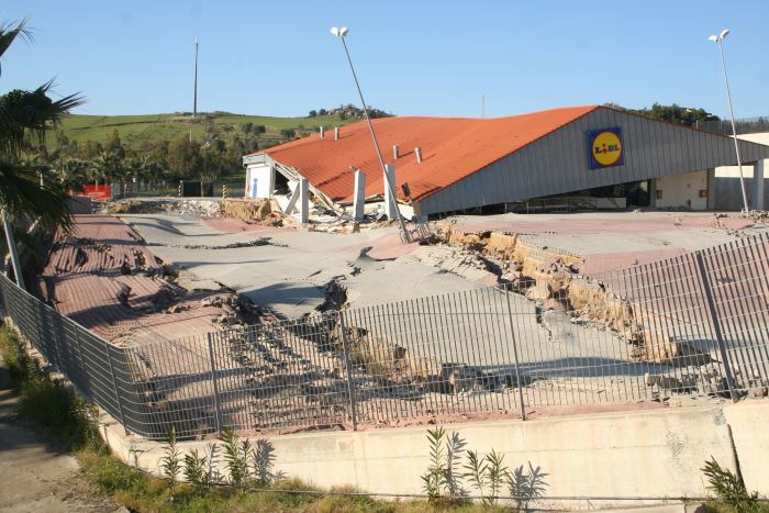
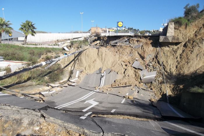
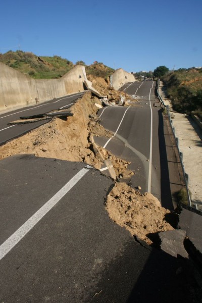
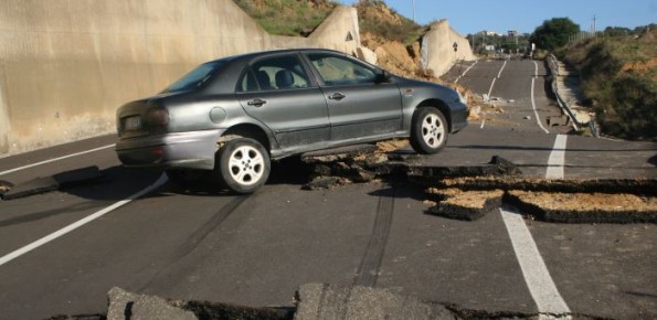
On December 3, 2013, a large landslide activated on the SW slope of Montescaglioso (Matera province, Basilicata), affecting an area with evidence of past instability. The landslide involved some 500 m of the main road to the village, and also interested several houses and other buildings.
Purpose
Monitoring the Montescaglioso landslide and surrounding areas, aimed at recognizing likely widenings or reactivations of the main movement, and carrying out further activities and analyses aimed at the comprehension of the phenomenon, and to provide useful indications to the planning and design of stabilization works.
Methods
Topographic and incinometric monitoring. Landslide inventory maps. Detailed geomorphological mapping. Monitoring of the road at present used as main route to the village. Definition of the geological-technical model of the landslide.
Results
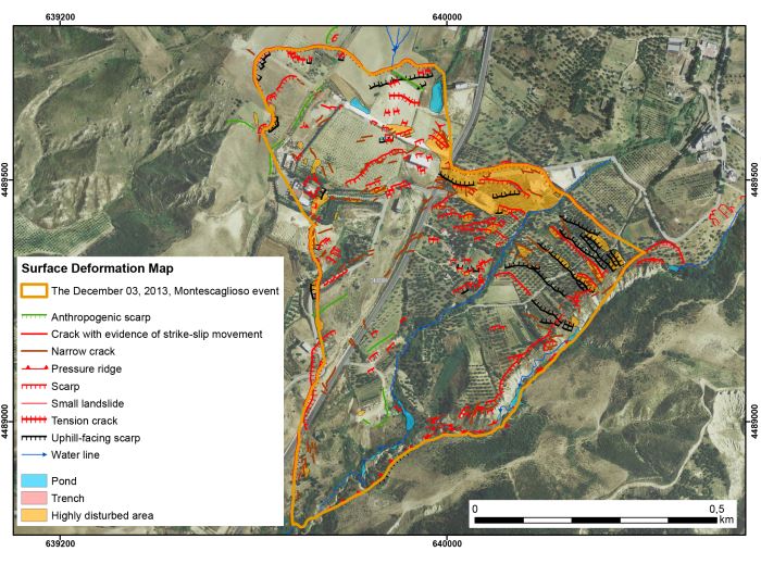
Occurrence of the large landslide on December 3, 2013, pointed out the high proneness to landslides of the Montescaglioso territory, and the negative effects deriving from anthropogenic activities, especially performed through changes in the natural hydrographic network. The on going studies will further clarify and deepen the preliminary results obtained.
Products
Map of surface deformations produced by the landslide. Thematic maps on landslide inventory, and multi-temporal maps of the slopes affected by the 2013 landslide. Weekly bulletin of topographic monitoring. Monthly bulletin of inclinometric monitoring.
Conclusions
The monitoring activities (still on going) allowed since the first week after the event to control its evolution over a wide area, well beyond the landslide limits. In cooperation with the other experts involved, the first surveys have been carried out, which outcomes are at present in phase of elaboration and analysis.