
Geological investigations in the catchment of the Rio Kortol
Background
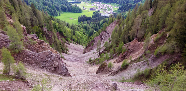
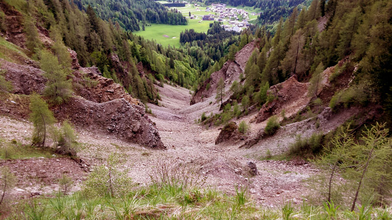
Past debris flows in the Rio Kortol catchment arise concerns for the safety of the village of Sauris di Sotto, and urge new studies for the assessment of hazard and the choice of risk mitigation measures.
Purpose
The aim of the project is to assess debris-flow hazards in the Rio Kortol and to define control measures.
Methods
The study methods include:
- collection and analysis of historical maps and documents;
- multi-temporal photointerpretation;
- geomorphometric analysis of the catchment on high-resolution DTMs;
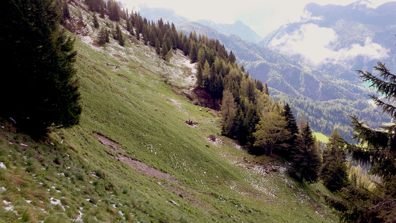
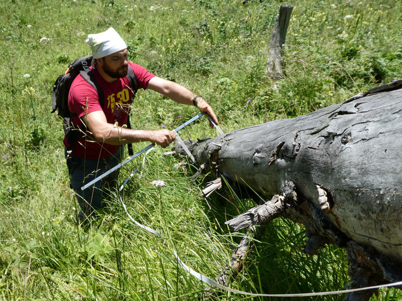
- field surveys for geomorphological mapping;
- numerical modeling of debris flows.
Results
Geomorphometric analysis, photointerpretation and field surveys have enabled defining the geomorphological settings of the catchment and evaluating characteristics and amounts of sediment and large wood that could be entrained and transported by debris flows. The analysis of the catchment has permitted defining event scenarios, which have been processed by means of numerical models for debris-flow propagation and deposition. Modeling results provide the basis for the design of risk mitigation measures.
Products
Technical reports
 Internal contact person: lorenzo marchi -