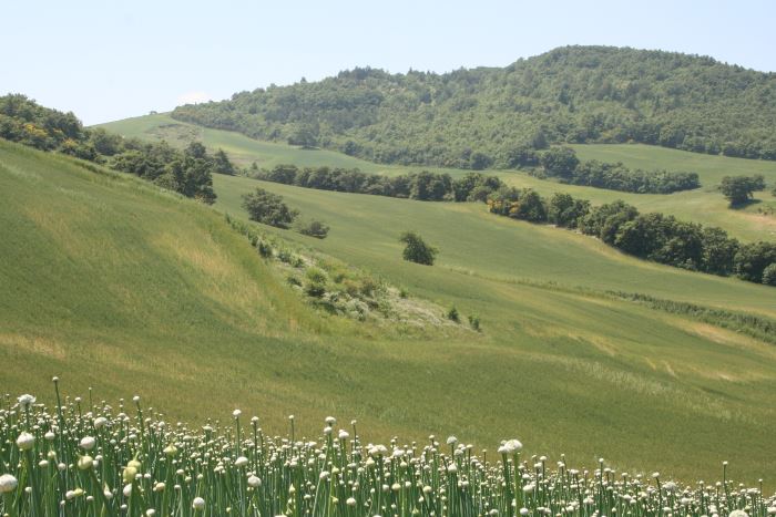
Geomorphological studies on sectors of the Apulian territory
Background
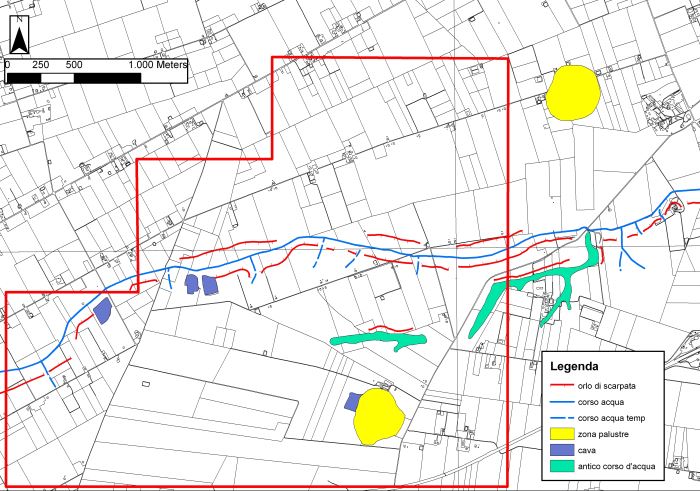
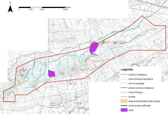
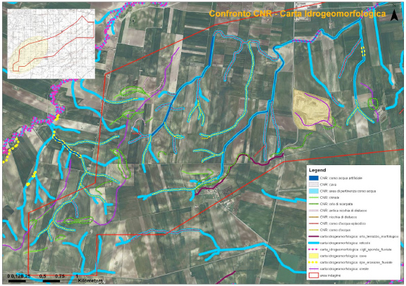
Existing geomorphological maps on the Apulian territory show some inconsistencies, that might have effects as concerns the limits of restriction areas for the location of works. To have available an updated and scientifically sound product, TRE Spa asked CNR IRPI a scientific consultancy for the production of geomorphological maps.
Purpose
Provide geomorphological indications on sectors of the regional territory, through:
- production of Geomorphological Map by means of aerial photo interpretation, integrated by field surveys;
- production of explicatory notes, including comments on possible inconsistencies among the official documents.
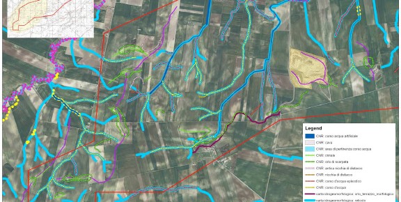
Methods
Interpretation of aerial photographs, integrated by field surveys. Production of large-scale geomorphological maps.
Results
Several geomorphological maps have been produced for sectors of the Apuliam territory, and the differences existing in the available official documents have been outlined and discussed.
Products
Geomorphological mapping.
Conclusions
The large-scale geomorphological mapping, performed over sectors of the Apulian territory, pointed out to the need of updating the official cartography, that frequently has inconsistencies among the different maps, and/or does not depict evident phenomena of hydro-geological instability.