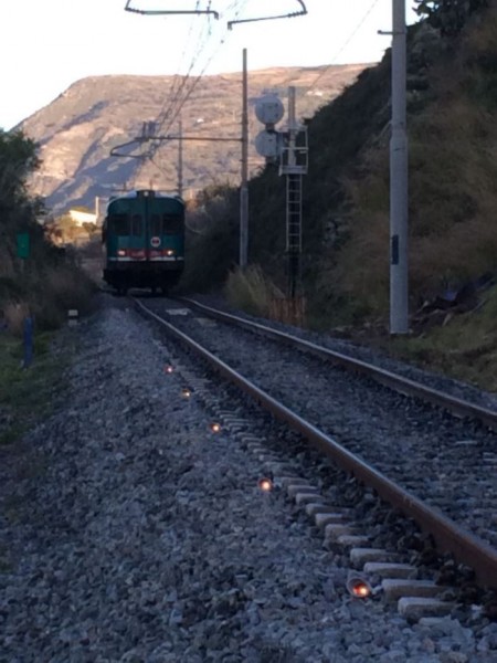
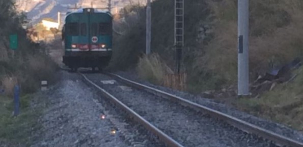
Investigations for the mitigation of geo-hydrological risk along the railway “Eccellente – Rosarno”
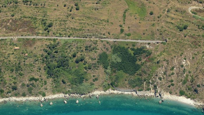
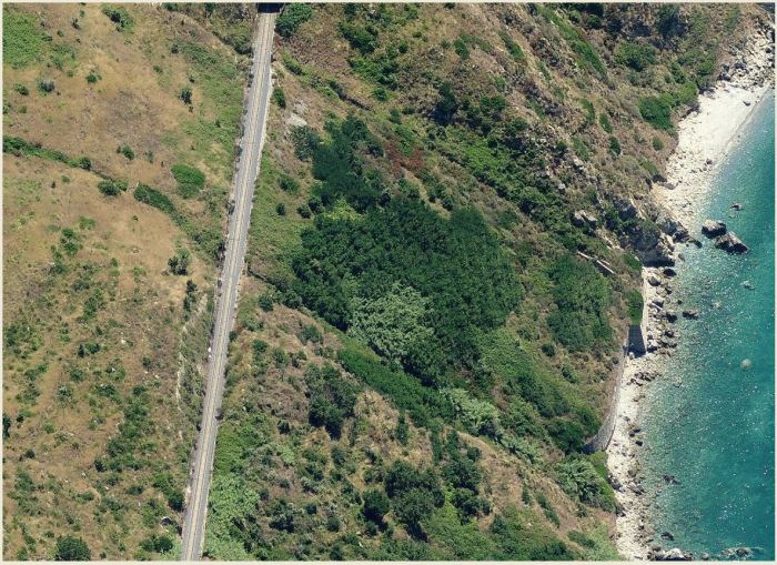
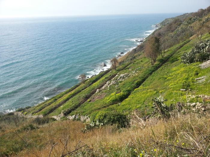
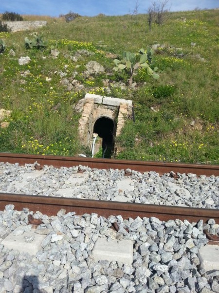
Geological and geotechnical investigations to support the adoption of mitigation actions and the planning of structural measures to reduce the geo-hydrological risk along the railway “Eccellente - Rosarno Via Tropea” from km 56+616 and km 56+725.
Background
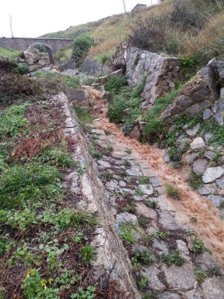
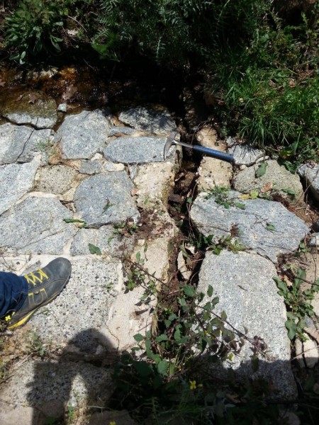
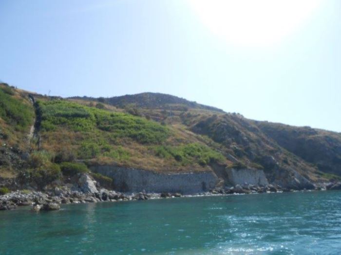
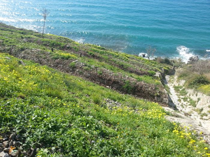
Large part of the territory is affected by geomorphological instability, often threatening the anthropic environment. Technical and socio-economic reasons often impose coexistence with the risks. Therefore, appropriate risk mitigation and/or reduction strategies must be implemented. Field and laboratory investigations, monitoring, modelling techniques and cartographic analyses are essential tools to acquire the necessary knowledge.
Purpose
Scientific advice for geological and geotechnical characterization, along the railway “Eccellente-Rosarno Via Tropea” (km 56), to supporting the adoption of innovative risk mitigation measures and to design remediation works for risk reduction.
Methods
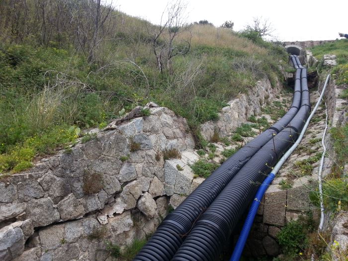
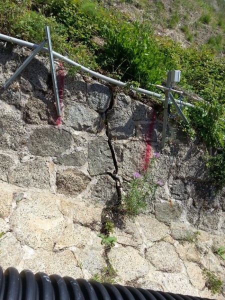
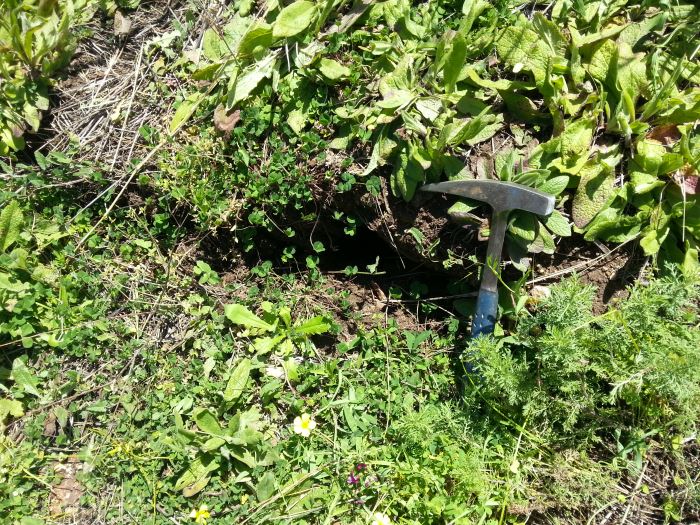
Geomorphological and geological surveys in the area threatened by the landslide; survey of damage. Planning of geognostic prospections (direct and indirect). Automatic, continuous / periodic monitoring. Analysis and interpretation of data. Applications of numerical modelling.
Results
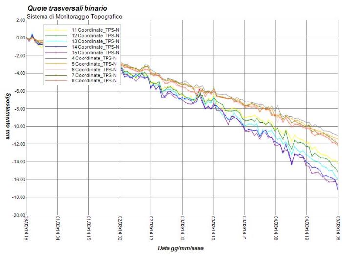
Supporting the Client to: periodic manual readings in situ at instruments; planning of laboratory tests; properly select mitigation measures and design remediation works. Training of qualified personnel, hired by RFI, for the execution of field observations and periodic measurements in situ. Design of a innovative network of monitoring in real time and of a DB/WebGIS for data dissemination.
Products
Initial report, with indications on studies and surveys to be carried out, and suggestions for realizing an innovative monitoring network. DB/WebGIS for dissemination of data and results (restricted access). Monitoring network. Final report, with description of landslide activity, preliminary study of relations rain/groundwater/deformation, and suggestions for remedial works.
Conclusions
Scientific advice is aimed at application results of great relevance, given the non-negligible risk threatening the items of interest (e.g. railway, trains, travellers, goods). Characterization activities, monitoring and geological-geotechnical modelling are aimed to support the adoption of appropriate mitigation measures and the design of remedial works to reduce geo-hydrological risk.