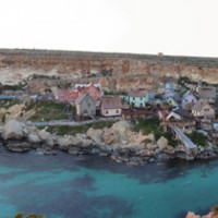
Malta
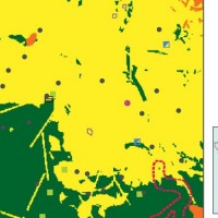
The coloured circles represent the total number of activities (project, products and services, outreach, collaborations) that we have in the corresponding geographical zone
Map data: © OpenStreetMap contributors
From population risk perception to social vulnerability in coastal areas subject to climate change: a proposal for risk management strategies in two Mediterranean regions
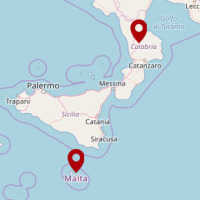 Coastal areas are particularly sensitive to climate change. Because these areas have become particularly susceptible to extreme physical phenomena because of a significant increase in human pressure, climate change will cause heightened exposure and vulnerability of the population. The Authorities ought to make strong efforts to: i) take the necessary measures and actions to reduce the negative impacts of the natural phenomena on the coastal ...
 Radar remote sensing techniques for the detection and measurements of ground surface deformations
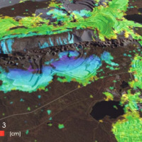 Space-borne radar interferometry or DInSAR (Differential Interferometric Synthetic Aperture Radar) is one of the latest techniques used for the detection and measurement of ground surface deformations caused by natural and / or man-made events. The DInSAR technique has been successfully used in the measurement of seismic deformations and of the effects of subsidence, unstable slopes and inflation of magma in volcanoes. The growth of space ...
 La ricerca idrogeologica italiana per la gestione sostenibile delle acque sotterranee di Malta
 Dal sito del CNR una news riguardante l’Accordo di Cooperazione “Formulation of a framework to guide the development of a numerical groundwater model to estimate the sustainable yield of the mean sea level aquifer system” tra l'IRPI-CNR e il Sustainable Energy And Water Conservation Unit (SEWCU) del Ministry for Energy and Health (MEH) della Repubblica di ...
 STSE Water Cycle Multi-mission Observation Strategy for the Mediterranean
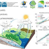 Monitoring the water cycle from satellite observations is one of the major goals of the EO community and closing the water budget has been a long-standing objective of international programs. After years of hard work, calibrating satellite data, improving inversion techniques, and facilitating the coherency of retrievals, it is admitted that the water cycle budget can now be ...


