Austria
The coloured circles represent the total number of activities (project, products and services, outreach, collaborations) that we have in the corresponding geographical zone
Map data: © OpenStreetMap contributors
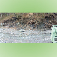
Towards geohazards resilient infrastructure under changing climates
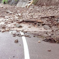 A trend of increasingly frequent intense rainfalls and changing rainfall patterns is causing a relevant number of landslides and floods affecting urban areas and engineering infrastructures such as roads, railways. Recently Transport networks across Europe experienced several failures the reasons of which are still poorly understood.. To improve the current situation, a step change in the way we design reliable and effective defence structures ...
 Connecting European Connectivity Research
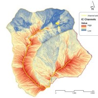 Water and sediment connectivity has emerged in recent years as a significant conceptual framework for understanding the transfer of surface water and sediment through landscapes. Connectivity can be seen both as a driver of hydrological and geomorphic processes within a catchment and as an emergent catchment property that is the result of processes acting at different ...
 Sediment management in Alpine basins
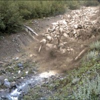 The understanding of the changing equilibrium between sediment supply from upstream and sediment transport capability of a river is important for the success of integrated water resource management. In Alpine river basins, intensive sediment transport processes and sediment continuity have a notable impact on several water management issues posing multiple use conflicts related to hydropower, ecology, flood control ...
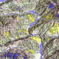
 Spatially distributed modelling of landslide phenomena
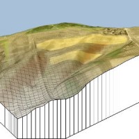 The application of distributed physically based models is possible on relatively small areas, typically hundreds or few thousands of km2. Distributed modelling of slope dynamics requires many sufficiently detailed information. Knowledge of geotechnical parameters and land use, digital terrain models, medium/high resolution cartography, temporal evolution of soil moisture conditions, are ...
 Long-term Permafrost Monitoring Network
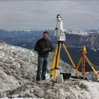 Permafrost is very sensitive to climate change and the risks associated with its degradation affect traffic routes, settlements and infrastructure. Data on the distribution of permafrost are inconsistent and there is no common strategy to tackle this problem. Local administrators should have the means to manage the risks associated with the degradation of the ...
 Hydrometeorological data resources and technologies for effective flash flood forecasting
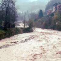 Flash-floods develop at space and time scales that conventional observation systems for rainfall and river discharge are not able to monitor. Consequently, the atmospheric and hydrological generating mechanisms of flash-floods are poorly understood, leading to highly uncertain forecasts of these ...


