
Theme: DInSAR
EGMS data in PAI planning tools
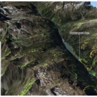 In recent decades, InSAR data has been extremely helpful in identifying and delineating active landslides, as well as enhancing our understanding of geo-hydrological instability. However, due to the complexity and limitations of interpreting InSAR data, there is a need for guidelines to facilitate its operational use in detecting slow landslide ...