
Characterization, modelling and monitoring
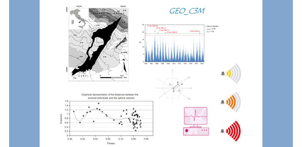
Geological characterization, numerical modelling and monitoring for natural risk mitigation (GEO_C3M)
Background
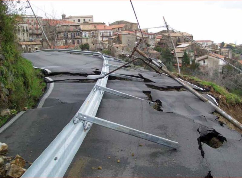
The project concerns the mitigation of natural hazards (mainly the effects on the territory and the anthropic environment caused by rains, earthquakes, volcanism, and Radon gas). The geological characterization is essential to frame the contexts and the expected phenomena. Numerical modeling and monitoring allow to predict the spatio-temporal evolution of the phenomena, and therefore to evaluate the risk for mitigation purposes.
Purpose
To produce useful knowledge for the characterization of the sites of interest in geological-technical terms, with particular regard to the contexts and the expected phenomena. To develop innovative techniques of numerical modeling and monitoring, either on site or remote, for the implementation of effective systems of mitigation and of early warning.
Methods
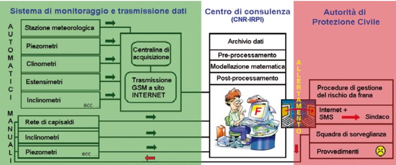
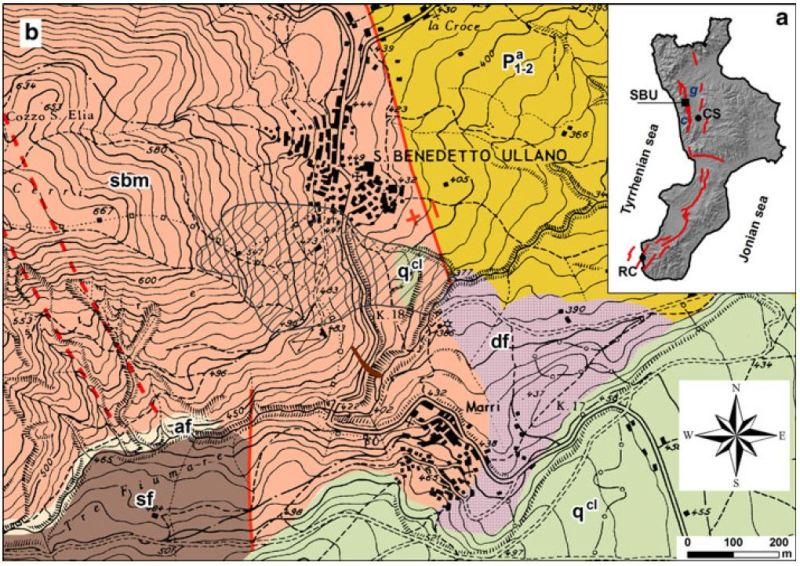
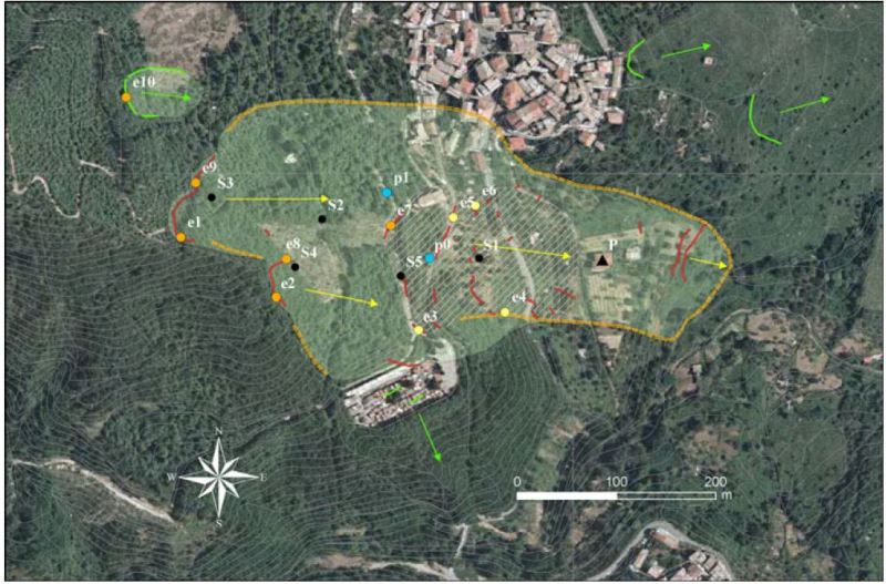
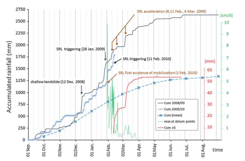
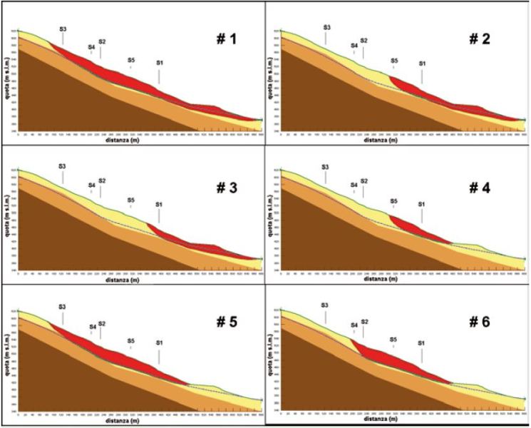
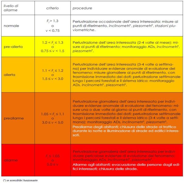
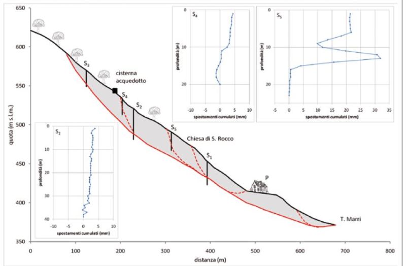
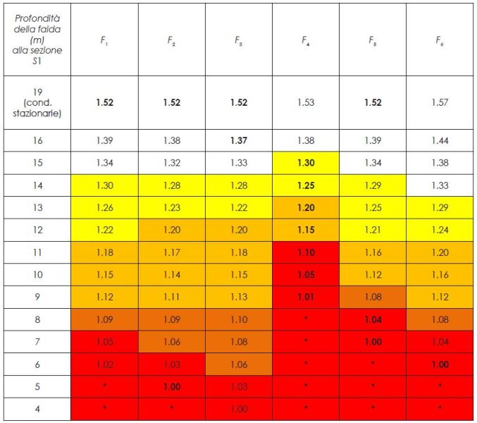
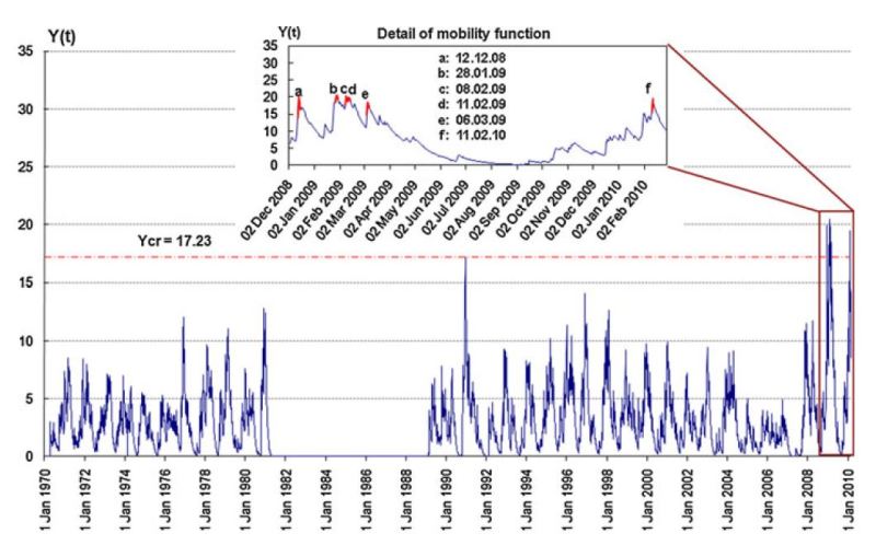
Depending on the territorial context and the considered phenomena, an adequate geological characterization can be obtained through the combined use of historical investigation, field surveying, interpretation of multi-temporal remote-data (eg satellite, aerofotogrammetry), prospections (direct and indirect), and cognitive monitoring. Numerical modeling allows to schematize the salient features of the phenomena and to hypothesize their evolution. The integration of the above approaches allows the implementation of control and alert systems for risk mitigation.
Results
Characterization of the sites of interest in geological-technical terms, with particular regard to the contexts and the expected phenomena.
Innovative techniques of numerical modeling.
Innovative monitoring techniques, on site and remote.
Implementation of effective risk mitigation systems.
Products
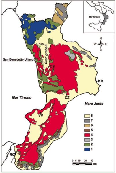
Geological and thematic maps.
Maps of susceptibility, hazard, and risk.
Numerical models.
Monitoring systems.
Alerting systems.
Conclusions
Development of innovative knowledge and tools for risk mitigation, based on geological characterization, modeling, and monitoring.
 Internal contact person: giulio iovine -