Landslide maps for the Castelfranci municipality
Production of landslide maps for the Castelfranci municipality, southern Italy.
Background
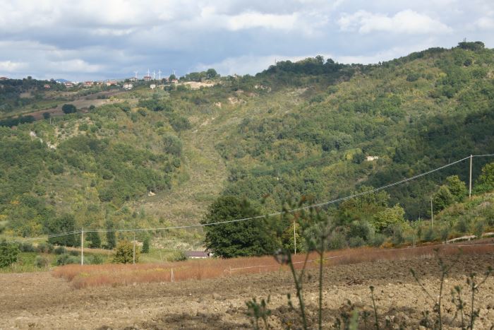
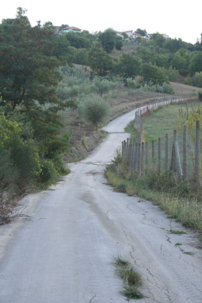
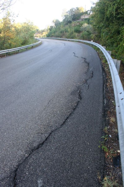
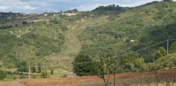
Castelfranci (Avellino, Campania) is located in the catchment of the Calore River, in correspondence of a N-S oriented stretch of the river. This territory is intensely affected by landslide development, which more than once was in the past at the origin of severe damage to the local community, and heavy losses to society.
Purpose
Increase the knowledge about the landslide distribution and typology that in the last sixty years have caused several problems in the urban and peri-urban area of Castelfranci. Critical analysis and organization of the documents concerning landslides and the geological-technical features of the territory, available at the local technical office.
Methods
Critical revision of existing documentation. Interpretation of multi-temporal aerial photographs, and production of landslide inventory map, integrated by field surveys. Analysis of the seismicity of the area.
Results
An accurate database dealing with all the available informations about landsliding in the Castelfranci Municipality has been built. The aerial photo interpretation, and the field surveys, resulted in the production of a landslide inventory map over the whole territory, and (at selected sites) of multi-temporal activity maps.
Products
Landslide inventory map of the Castelfranci Municipality. Landslide activity maps in selected areas. Organization of the available documentation at the local technical office, regarding landslide phenomena.
Conclusions
The performed activities allowed to increase the knowledge on the landslides at Castefranci, and to organize the available historical documentation. The landslide inventory map shows a diffuse presence of landslides, that typically reactivate due to rainfall, seismic, or anthropogenic triggers. The results of the project should be ideally followed by appropriate monitoring programs in selected areas.