Sediment management in Alpine basins
Integrating sediment continuum, risk mitigation and hydropower. (SedAlp)
Background
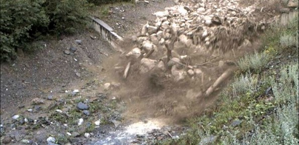
The understanding of the changing equilibrium between sediment supply from upstream and sediment transport capability of a river is important for the success of integrated water resource management. In Alpine river basins, intensive sediment transport processes and sediment continuity have a notable impact on several water management issues posing multiple use conflicts related to hydropower, ecology, flood control etc.
Purpose
SedAlp main objectives are:
- Developing and testing strategic policies and tools for an integrated management of sediment transport in Alpine basins;
- Developing and promoting integrated approaches to planning and management of river sediment as a natural resource;
- Enhancing efficient sediment extraction and use;
- Improving mitigation and management of sediment-related natural hazards (floods and debris flows);
- Promoting cooperation in environmental protection issues related to environmental aspects of sediment and riparian forests in national parks and protected areas.
Methods
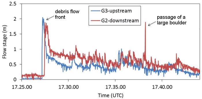
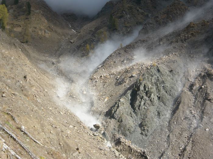
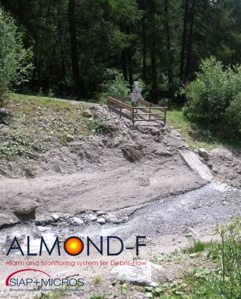
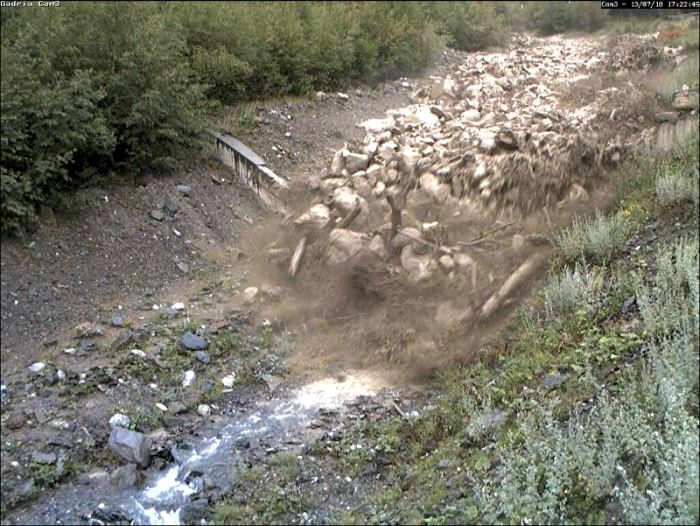
Creation of sediment source inventories via aerial photo interpretation and fieldwork and automated mapping using IR orthophotos and DTM, sediment connectivity assessment using GIS-based tools, multi-temporal DTM analysis, multi-temporal analysis of mass wasting sediment dynamics using historical archives, sediment transport monitoring (suspended load, bedload, debris floods, debris flows, large wood), data analysis from hydroelectric reservoirs and site observations, basic physical and numerical modeling of the impacts of hydropower dams on sediment continuum.
Results
The SedAlp project includes piloting actions in various representative Alpine river basins of all involved countries and contributes to sediment and wood transfer monitoring in a large set of Alpine catchments, in order to understand spatial and temporal variability of processes. Based on process understanding, planning, warning and predictive tools will be provided together with sediment and wood management recommendations for hazard mitigation and protection of people.
Products
Four databases of sediment sources, GIS-based tools for mapping catchment-scale sediment connectivity, a GIS-based Fluvial Information System, guidelines for ranking basins and channel reaches in terms of geomorphic activity and hazard potential, dataset on sediment and wood transport rates and volumes for different regions in the Alps, protocols on standardized data collection methods, improved sediment transport equations and models, guidelines for planning/designing of efficient torrent control structures and of hydropower plants.
Conclusions
SedAlp contributes to integrated management of sediment transport in Alpine basins directed to an effective reduction of sediment-related risk while promoting the enhancement of riverine ecosystems and reducing the impacts of hydropower plants.