Landslide hazard in coastal areas: the natural laboratory of the Malta island
Multidisciplinary research in the open-air laboratory of the island of Malta. An international network for landslide hazard assessment in coastal areas
Background
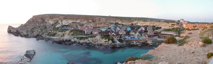
The research project can be included within the context of increasing hydrogeological instability also due to climate change and aims at investigating coastal instability in the island of Malta. This aspect has been until now slightly dealt with, despite significant risk issues, as evidenced from a series of accidents/damages recorded after landslide events.
Purpose
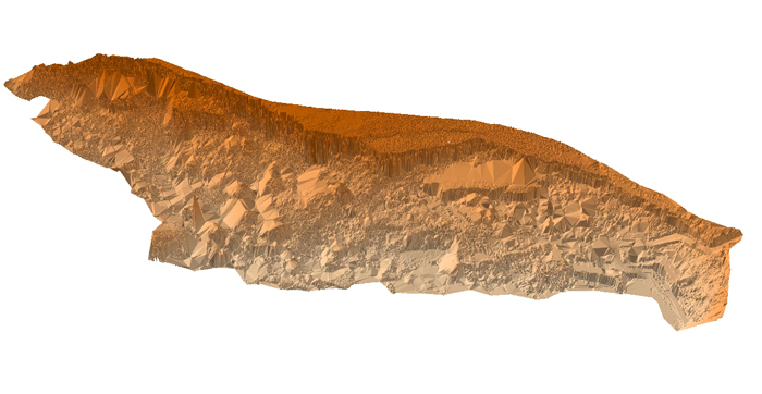
The project aims at the reconstruction of the recent geomorphological evolution and at assessing landslide hazard of the north-west coast of the island of Malta.
Methods
The objectives of the project were pursued through multidisciplinary investigations which were foreseen a geomorphological, engineering geological and engineering approach.
Results
The results of the project allowed the advancement of knowledge, both with regards to the Maltese territory and also to generally improve the research methods dealing with landslide hazard assessment. Significant methodological information was obtained from the integrated use of several techniques and models.
Products
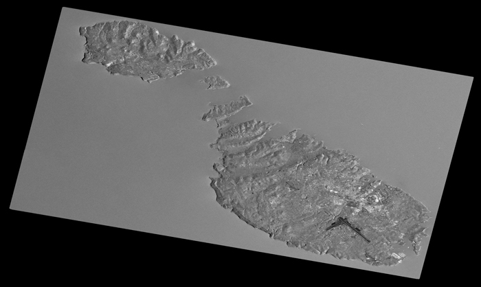
The outputs of the research were a geomorphological map of the NW coast of the Island of Malta and several papers published on international journals. Within the framework of the project a joint Italo-Maltese Workshop on the “Integration of the geomorphological environment and cultural heritage for tourism promotion and hazard prevention” was organized.
Conclusions
The multidisciplinary approach of project involving several expertise and planned the integration of innovative methods and research techniques has achieved excellent results in the field of mapping, monitoring and modeling of coastal instability.