
Land cover change detection and monitoring methodologies based on the combined use of S1 and S2 for natural resources and hazard management
Land cover change detection and monitoring methodologies based on the combined use of Sentinel 1 and Sentinel 2 imagery for natural resources and hazard management. (COMMONS)
Background
ESA Sentinels missions will provide enhanced capabilities in the revisit frequency, and the coverage. Their complete exploitation is in the combination of the two to advantage of a further increased revisiting time and in the use of different wavelenght domains. This reflects in the capabilities to detect features of changes induced by different factors including natural hazards and crop managing.
Purpose
To develop and validate robust methods to generate land mapping products by using jointly Sentinel-1 C band SAR and Sentinel-2 optical imagery.
Methods
Change detection approach based on a library of spectral changes trapped by the combination of Sentinel-1 and Sentinel-2.
Results
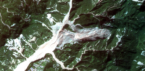
New methodology of SAR and optical data/product combination, and a library of spectral signatures of land cover changes due to some natural hazards.
Products
Landslide inventory maps, flood maps, snow cover maps, forest change maps, crop changes maps.
 Internal contact person: alessandro cesare mondini -