
Deep seated Gravitational Slope Deformation (DsGSD) analysis and criticalities assessment of the regional monitoring network of the landslides
Background
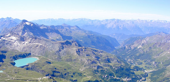
The Aosta Valley region presents a landscape almost totally occupied by mountain. In this context, a number of meaningful landslides is present, which vary from rock falls to deep-seated gravitational slope deformation (DsGSD), passing for the complex landslides. The study of these phenomena, finalized to guarantee suitable standard of safety and to facilitate a compatible development, results a fundamental necessity for this territory.
Purpose
The present study is organized in two distinct phases: i) development of a methodology based on the SAR data employment for the analysis of the strength of activity of the DsGSD; ii) analysis of the regional monitoring network aimed to the individuation of criticalities and strength for each monitored phenomena.
Methods
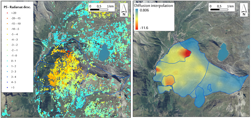
The study of the DsGSD is based on a combined analysis of SAR data, morphological and geo-structural analysis.
The study of the monitoring network is based on the collection and the revision of all the bibliographic material together with the analysis and processing of the time series of ground deformation, relative to the monitoring network of each landslide.
Results
The study of the DsGSD allowed to the improvement of a methodology to assess the state of activities of these phenomena by the morphostructural domains definition. The assessment of the state of activities of a DsGSD results fundamental in the estimation of landslide hazard and for the land use planning.
For the landslides of the regional monitoring network, the analysis of each phenomenon has been done, leading to the state of knowledge and the eventual criticalities.
Products
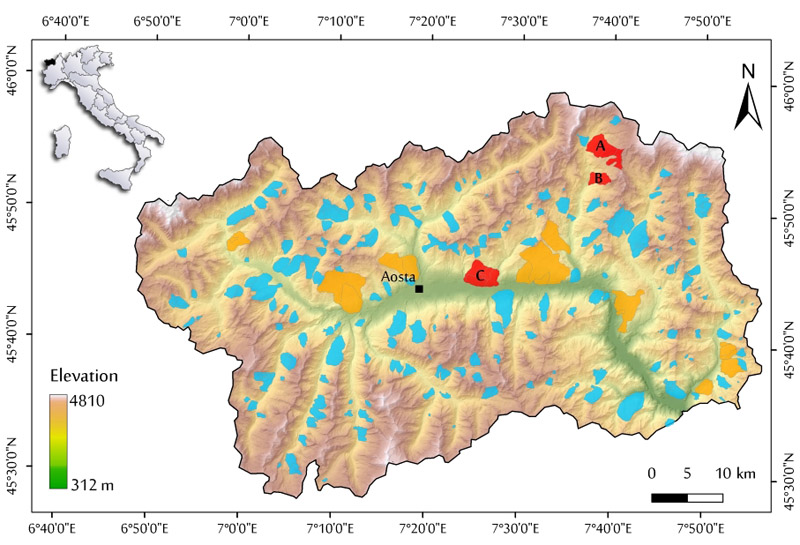
The project allowed assessing a methodology for the definition of the morpho-structural domains of the DsGSD, defining their state of activity. The project expected the application on four case study.
For each landslides of the regional monitoring network, a monograph has been implemented, following an innovative approach based on the aeronautics methodologies.
Conclusions
The project allowed developing a new methodology based on the SAR data application to assess the state of activities of the DsGSD of the Aosta Valley region. The state of activity evaluation results fundamental for a proper land use planning.
The development of monograph of each landslides of the regional monitoring network represents a method for a dynamic management of knowledges of an active phenomenon of a regional monitoring network.
 Internal contact person: daniele giordan -