Event Landslide Inventory Map
(eLIM)
Description
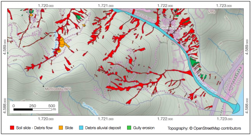
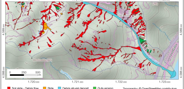
An Event Landslide Inventory Map (ELIM) shows the location and extent of landslides caused by a specific natural trigger, such as an intense rainfall event, a period of prolonged rainfall, a rapid snowmelt event, or an earthquake. The methods and tools developed by CNR-IRPI allow preparation of an ELIM anywhere recent landslides have left discernible signs.Users/Purpose
Civil Protection authorities use ELIMs in the aftermath of an event for improved rescue and recovery operation.
Planning & development authorities use ELIMs to identify areas recently affected by landslides, and avoid dangerous areas.
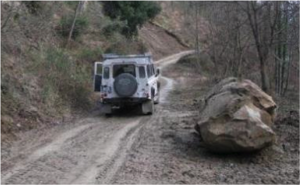
Transportation authorities & utility managers use ELIMs to evaluate the impact of landslides on transportation or utility network.
Agricultural & forest agencies use ELIMs to assess the impact of landslides on crops and forests.
Scientists use ELIMs to prepare multi-temporal inventories useful for erosional studies, and to determine the statistics of landslide areas.Methods and technologies
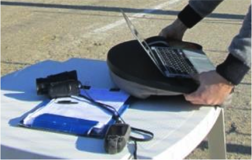
CNR-IRPI prepares ELIMs at scales ranging from 1:25,000 (smaller scale) to 1:5000 (larger scale) in periods ranging from hours to months after the delivery of the high resolution (HR), very-high resolution (VHR) optical satellite images and/or stereo and ortho aerial photo. CNR-IRPI uses photo-interpretative and semi-automatic approaches to classify the images. CNR-IRPI can also prepare eLIM through extensive field surveys. eLIMs are delivered in raster and vector formats.