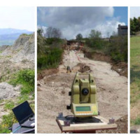
The development of new systems for monitoring of landslides is often the synthesis of geomatics and applied geology. In particular, the development of innovative low-cost systems must have a strong geomatics and technological component supported by the definition of required elements done by end users (engineering geologists). The development of low-cost monitoring systems can represent a strategic choice, above all, to guarantee an increasing ...
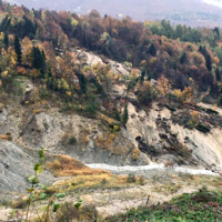
The Tessina Landslide has been, almost continuously, monitored by IRPI, Padova Unit, since its main reactivation in April 1992. Therefore the Veneto Region entrusted IRPI with the continuation of such activity to be extended to the Lamosano landslide too, in order to identify the most effective countermeasure to mitigate the induced ...
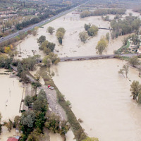
The project is focused on flood forecasting and hydraulic risk, i.e. the assessment of the effects of flooding in flood-prone areas also involving the vulnerability assessment of the hydraulic structures (dams, leaves, bridges, etc.).
The effects of flood events are not completely eliminated by structural measures, therefore it is necessary to develop complementary non-structural measures, such as real-time Flood Forecasting and Warning ...
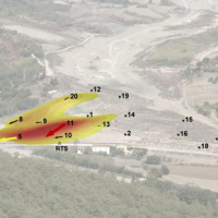
The 3DA software is a new procedure that allows retrieving in near-real-time 3D surface deformation models starting from data acquired via robotized total stations or others system that acquire the surface displacements. The measurements are first pre-processed and then implemented on 3D maps that include vector arrows representative of the intensities and of the real directions of motion in a given system of coordinates. The 3D surface ...
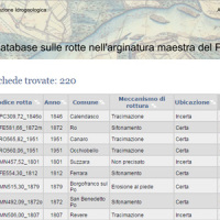
This is the web-based relational database on the main levee breaches of the Po River (Italy), which have occurred since the year 1800.
The database contains more than 200 fact sheets that show the information for each levee failure. For each fact sheet are attached documents and maps. The access is free of charge.
This database may provide a valid support in the design of defense interventions directed at the prevention and mitigation of ...
 The project is focused on flood forecasting and hydraulic risk, i.e. the assessment of the effects of flooding in flood-prone areas also involving the vulnerability assessment of the hydraulic structures (dams, leaves, bridges, etc.).
The effects of flood events are not completely eliminated by structural measures, therefore it is necessary to develop complementary non-structural measures, such as real-time Flood Forecasting and Warning ...


