

156 projects found

Spectral signatures library for semi-automatic event landslide recognition and mapping
Space agency From 24/06/2014 to 21/04/2016
Background Earthquakes and strong rainfall precipitations, cause worldwide landslide. Inventories of the ground effects of an event must be prepared in a few days or less for the residual risk…
Connecting European Connectivity Research
European From 10/04/2014 to 09/04/2018
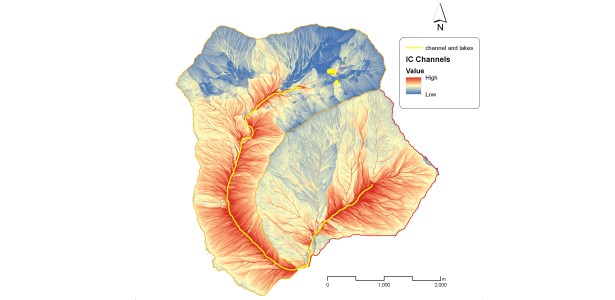
Background Water and sediment connectivity has emerged in recent years as a significant conceptual framework for understanding the transfer of surface water and sediment through landscapes. Connectivity can be seen…

Space advanced project for excellence in research and enterprise
National From 25/02/2014 to 31/05/2015
Background The project SAPERE is an Industrial Research oriented project (PON and FAR funds) focused on promoting the competitiveness of the National Aerospace Technology Cluster. The participants to the project…
Rainfall thresholds for the possible initiation of rainfall-induced landslides in Apulia
Regional From 24/02/2014 to 31/05/2015
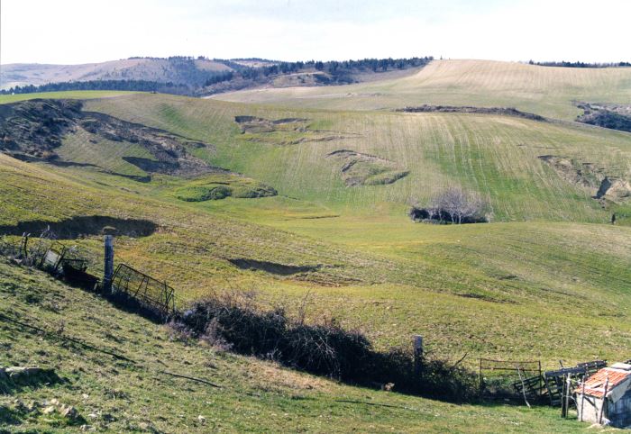
Background In Italy rainfall are among the main causes of trigger of shallow landslides, that yearly cause fatalities, damage, and severe economic losses. Identification of the amount of rainfall needed…
Instability problems related to man-made cavities in the Municipality of Ginosa
Local From 01/02/2014 to 30/06/2014
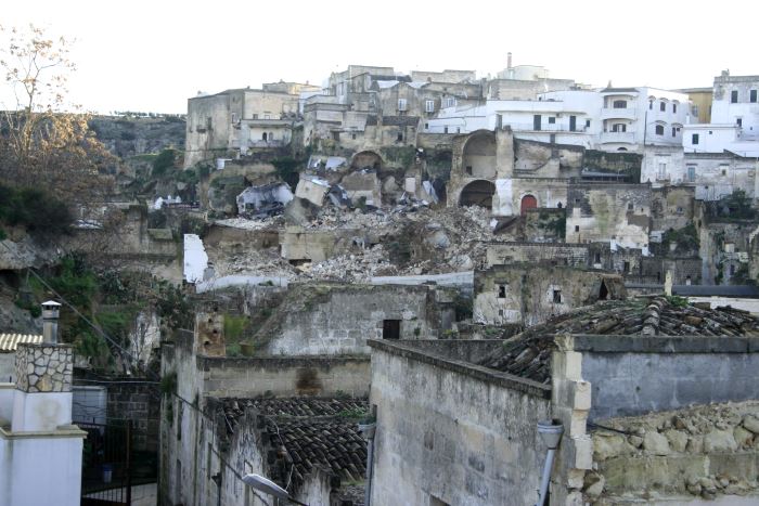
Background The territory of Ginosa was severely affected by flood and instability problems in October and in December 2013, as many other municipalities at the boundary between Apulia and Basilicata.…
RelationsHips between meteo-climAtic paraMeters and ground surface deforMation time sEries in mountain enviRonments
From 01/01/2014 to 31/12/2018
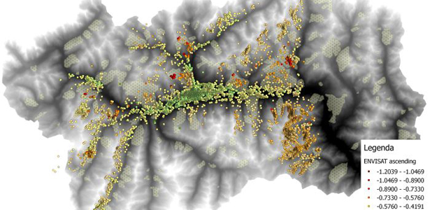
Background There is a systematic lack of information on the effects of the climate and environmental changes on the frequency and the intensity of landslides and their triggering phenomena (Huggel…
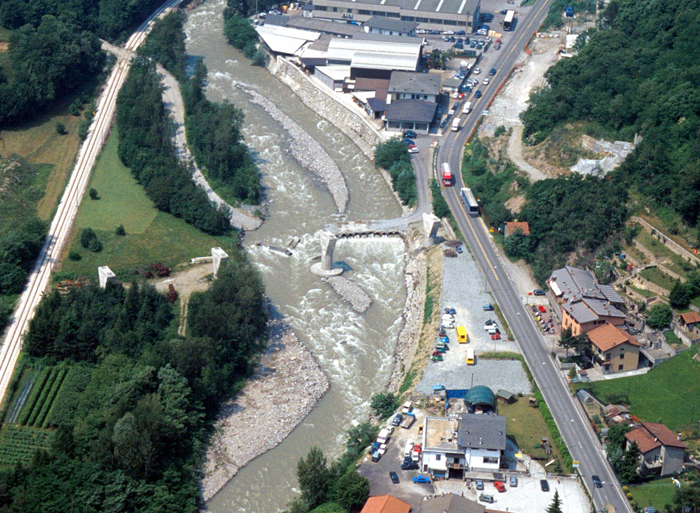
Gestione dei Sedimenti Fluviali
Regional From 01/01/2014 to 31/12/2015
Background Il progetto GeSeFlu nasce dalla necessità della Regione Lombardia mediante il Piano Operativo Regionale (Direttiva Comunitaria 2000/60/CE) di disporre di specifici Programmi di Gestione dei sedimenti per i sottobacini…
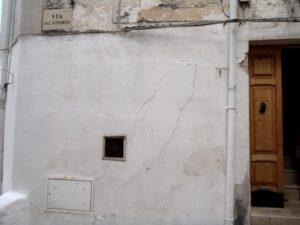
Analysis of instabilities in the historical centre of Mesagne
Local From 01/01/2014 to 30/03/2014
Background The instabilities that affected the historical part of Mesagne (Brindisi province, Apulia) since January 21, 2014, induced the local Authority to issue evacuation decrees for 18 families, corresponding to…

Mobile Application for Emergency Response and Support
European From 01/12/2013 to 30/11/2015
Background The responsibilities within natural hazards involve citizens and volunteers as first actors of civil protection. The prevention implicates technical volunteers, but the priority implies now awareness of local citizens.…
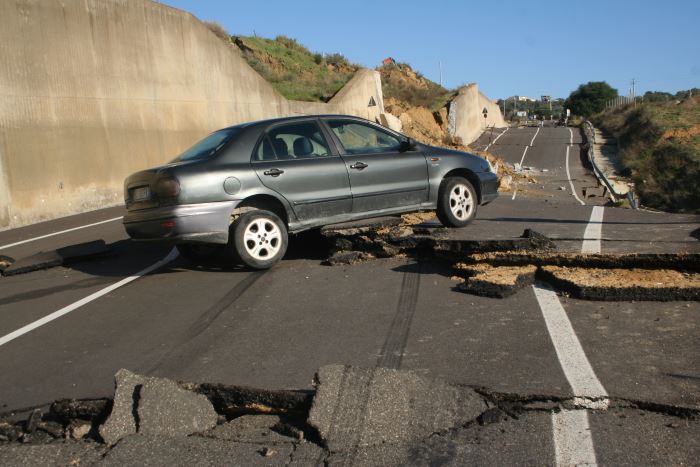
The 3 December 2013 Montescaglioso landslide
Local From 01/12/2013 to 30/04/2015
Background On December 3, 2013, a large landslide activated on the SW slope of Montescaglioso (Matera province, Basilicata), affecting an area with evidence of past instability. The landslide involved some…
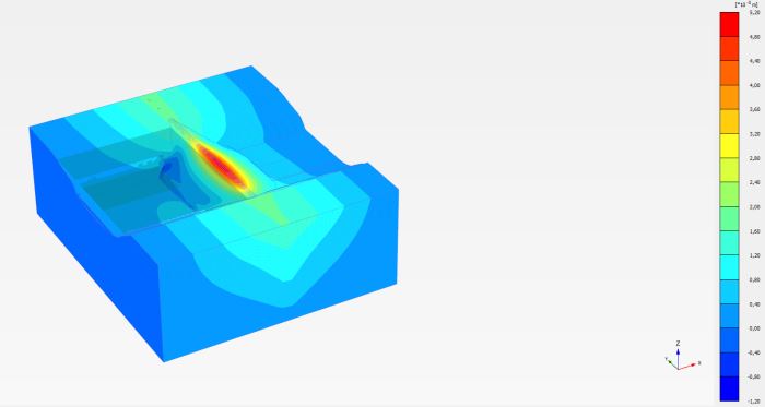
Advanced and Integrated Monitoring of Earth DAMS
Regional From 20/08/2013 to 20/08/2014
Background The project AIM-DAMS is aimed at developing a laboratory of integrated and advanced environmental monitoring for the control of the behavior of the earth-dams due to the different factors…

Analysis and monitoring of Planpincieux Glacier, Monte Bianco massif (AO)
Regional From 01/08/2013 to 30/04/2018
Background The Planpincieux Glacier is one of the glaciers that characterize the Italian side of the massif of the Grandes Jorasses. It is considered a temperate glacier and its front…
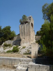
Stability analysis in the Fantiano quarries
Local From 15/06/2013 to 20/09/2013
Background The Fantiano quarries at Grottaglie (Taranto province) are an ancient sector of extraction of the local calcarenite rock, that is now used for concerts and shows. The instability phenomena…
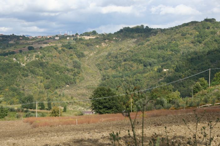
Landslide maps for the Castelfranci municipality
Local From 27/05/2013 to 22/03/2014
Background Castelfranci (Avellino, Campania) is located in the catchment of the Calore River, in correspondence of a N-S oriented stretch of the river. This territory is intensely affected by landslide…

Landslide Modelling and tools for vulnerability assessment Preparedness and REcovery management
European From 01/03/2013 to 02/02/2015
Background Il progetto FP7 LAMPRE – Landslide Modelling and tools for vulnerability assessment Preparedness and Recovery management svolge attività di ricerca innovative e di sviluppo tecnologico per migliorare le capacità del sistema Copernicus di far fronte a eventi…