Geohazard impact assessment for urban areas
(U-Geohaz)

Purpose
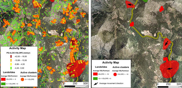
The project is focused on monitoring geohazard-associated ground deformations, a key prevention action specifically addressed to urban areas and critical infrastructures. The project will propose a procedure to produce maps to assess continuously the potential impact of geohazard activity. These maps will provide inputs to support early warning, giving information on the stability of the monitored areas and to evaluate the expected damage.
Methods
The objective will be based on: i) implementation of a procedure that fully exploit the 6-day repeatability of the Sentinel-1 constellation; ii) preparation of maps and tools that show in quasi real-time the potential impact of geohazard on urban structures and infrastructures and support early warning systems for landslides and volcanic geohazard.
Results
The U-Geohaz project will provide tools to increase the capacities of the actors implied in the risk management by means of near-real time mapping geohazard activity and predicting their potential impacts to urban areas and infrastructures. In particular, U-Geohaz will promote innovative approaches to increase the resilience of urban infrastructures over selected test sites.
Products
The project will provide the following results: i) open access software tools to produce deformation activity maps for each Sentinel-1 acquisition; ii) implementation of the U-Geohaz products for landslide monitoring in the Valle d’Aosta test site; iii) implementation of an early warning system for volcanic activity for the Canary Islands; iv) tools and methods to generate information to support early warnings systems for rock falls.


