Background
Environmental sensor monitoring is continuously developing, both in terms of quantity (i.e. measurement sites), and quality (i.e. technological innovation). Environmental monitoring is carried out by either public or private entities for their own specific purposes, such as scientific research, civil protection, support to industrial and agricultural activities, services for citizens, security, education and information.
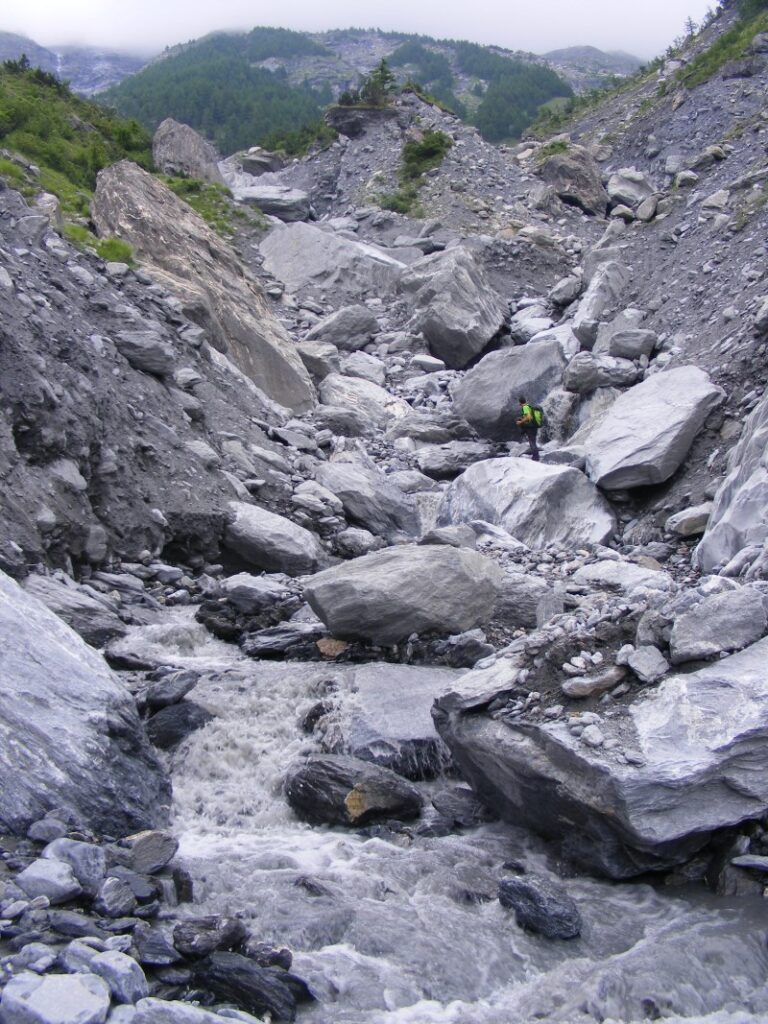
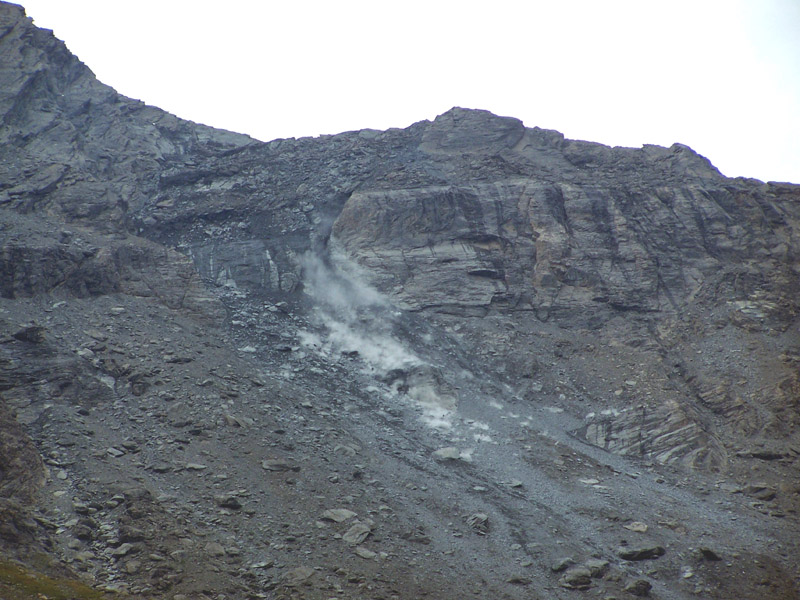
The left Cenischia valley includes some of the best known alpine basins prone to debris flow in Northwestern Italian Alps. In particular, in the Marderello catchment (6,6 km2), a left tributary of the Cenischia river, 31 important debris flood/flow events occurred during the last one hundred years. According to the chronicles of the last three centuries, events with significant volumes are on the average liable to take place every 3-4 years, whereas minor events may occur even twice per year. Due to the high frequency of activations, the site is of relevant interest for monitoring purposes. Since the early nineties, the CNR IRPI equipped the Marderello basin with meteorological monitoring devices.
Purpose
The rainfall monitoring network consists of six rain gauges, placed at different elevations, between 800 m a.s.l. and 2854 m a.s.l. Other meteorological data (air moisture and temperature, atmospheric pressure, wind speed and direction) are provided by some stations located at 3150, 2150 and 830 m a.s.l. The main objective of the monitoring is the investigation of the triggering conditions for debris flows initiation. In the scientific bibliography the prediction of debris flows is often tackled by the use of empirical methods, based on the analysis of past activation and related rainfall triggering conditions. In complex sites, as the Alpine catchments are, the remarkable elevation gaps between the source areas of debris flows and the rain gauges position make it difficult to identify the triggering rainfall. To attain more reliable results, the elevation effect must be considered. In fact, elevation influences the precipitation in terms of cumulative values and, as a result of the temperature gradient, it controls the nature of the precipitation (rain/snow).
Methods
The Marderello catchment is frequently affected by mud flow phenomena (1 per year, on the average), and as a consequence, it was chosen as monitoring site. The Ground vibration detectors (GVD) network consists of four vertical geophones (natural frequency of 10 Hz) installed on the alluvial fan, along a straight reach of the torrent. The catchment is also equipped with three video cameras, two rainfall stations and an ultrasonic stage sensor. The final goal of the ongoing research activities is to develop and test warning algorithms.