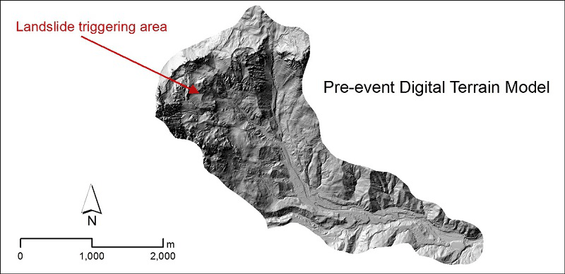
We exploit very high-resolution Digital Terrain Models and new algorithms to characterize the hydrology and morphology of small catchments in mountain areas.
Geomorphometry complements the traditional qualitative description of landforms with a quantitative approach based on the analysis of Digital Terrain Models, which are numerical representations of the topography.
The scope of the analysis is to derive parameters (e.g., terrain slope, surface roughness), or combinations of parameters, capable of characterizing the spatial variability of specific hydro-geomorphological processes (e.g., sediment connectivity, erosion and deposit).
The rapid development of modern technologies for the accurate measurement of topographic data at increasingly high resolution and covering large portions of the territory, such as LiDAR, has increased the interest in geomorphometry and its applications.
Cavalli M, Trevisani S, Comiti F, Marchi L. 2013. Geomorphometric assessment of spatial sediment connectivity in small alpine catchments. Geomorphology 188, 31-41. DOI: 10.1016/j.geomorph.2012.05.007.
Trevisani S, Cavalli M, Marchi L. 2012. Surface texture analysis of a high-resolution DTM: interpreting an alpine basin. Geomorphology 161-162, 26-39. DOI: 10.1016/j.geomorph.2012.03.031.
Home » Focus » Geomorphometric analyses in mountain catchments