Background
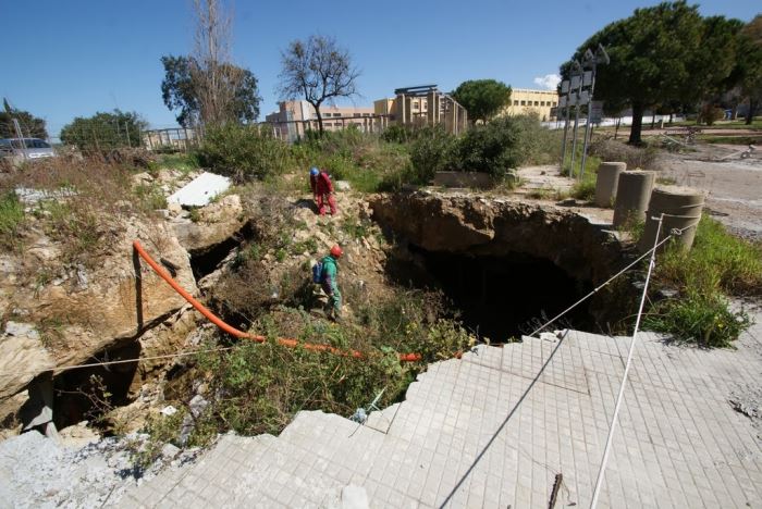
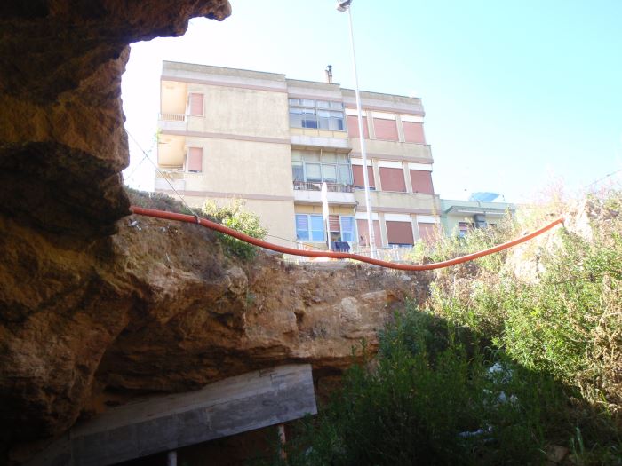
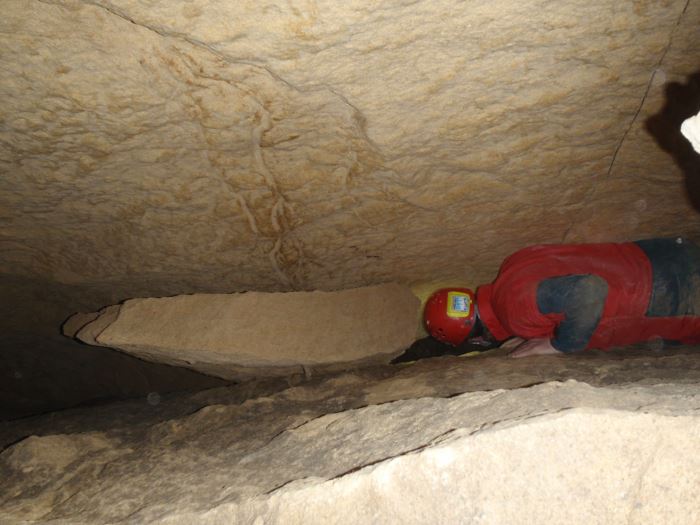
Sinkholes occur as sudden collapses of the ground, related to natural cavities produced by karst processes in soluble rocks, or to man-made cavities deriving from different types of human activities in different historical ages. Sinkholes are widespread all over the world, and the related hazard is extremely high, with very severe damage to built-up areas and human infrastructures, and heavy losses to the society.
Purpose
Sinkholes are occurring at an increasing rate in Italy, covering wide areas of the country. Application of satellite techniques to analyze and monitor these phenomena may result very useful and productive. Sinkholes occur, as a matter of fact, in flat areas, often on bare ground or in built-up areas; this should at least reduce some of the problems encountered when applying DInSAR to investigation and monitoring of other types of natural phenomena, such as landslides.
Methods
The SBAS (Small BAseline Subsets) technique, focused on the use of small baseline interferograms in order to mitigate the decorrelation errors and to accurately monitor surface deformation over large areas, was used in the project. The technique allowed to produce deformation maps at regional scale and time series of displacements, to monitor deformation phenomena at local scale, even affecting single man-made features.