We experiment the application of 3D numerical modelling techniques for the analysis of the kinematics of slow-moving active landslides. The activity assesses the hazards posed by slow-moving landslides, determines the factors controlling the slope processes, investigates the potential evolution of the active slopes, and helps selecting appropriate slope mitigation strategies.
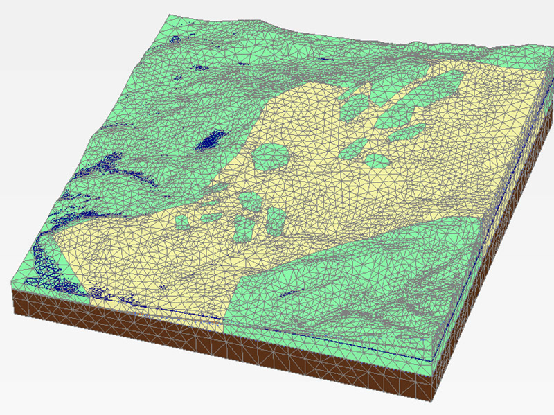
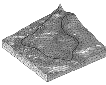
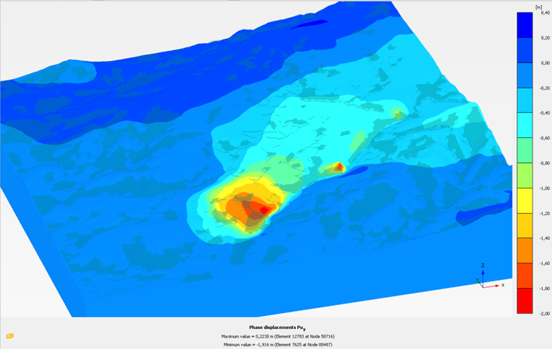
We exploit modern numerical modelling techniques based on finite element methods, using two-dimensional (PLAXIS-2D) and three-dimensional (PLAXIS-3D, COMSOL Multiphysics) commercial software. We calibrate and optimize our numerical models using landslide-monitoring data acquired using traditional and new techniques, on the ground, from the air, and from space.
The numerical models can be used to predict the kinematical evolution of the landslides.
Calò F, Ardizzone F, Castaldo R, Lollino P, Tizzani P, Guzzetti F, Lanari R, Angeli MG, Pontoni F, Manunta M. 2014. Enhanced landslide investigations through advanced DInSAR techniques: the Ivancich case study, Assisi, Italy. Remote Sensing of Environment 142, 69-82. DOI: 10.1016/j.rse.2013.11.003.
Castaldo R, Tizzani P, Lollino P, Calò F, Ardizzone F, Lanari R, Guzzetti M, Manunta M. 2014. Landslide kinematical analysis through inverse numerical modelling and differential SAR interferometry. Pure and Applied Geophysics. DOI: 10.1007/s00024-014-1008-3.
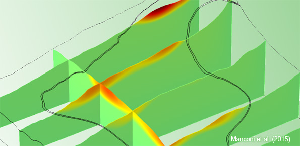
Manconi A. Lollino P. Duro J. Mondini A. Guzzetti F. 2015. Use of Space-borne InSAR data to Optimize Landslide Numerical Models: the example of an Ancient Landslide in El Portalet, Central Pyrenees, Spain. In Proceedings of FRINGE’15: Advances in the Science and Applications of SAR Interferometry and Sentinel-1 InSAR Workshop, Frascati, Italy, 23-27 March 2015, Ouwehand L., Ed., ESA Publication SP-731. doi:10.5270/Fringe2015.142
Home » Focus » Kinematics of slow-moving active landslides