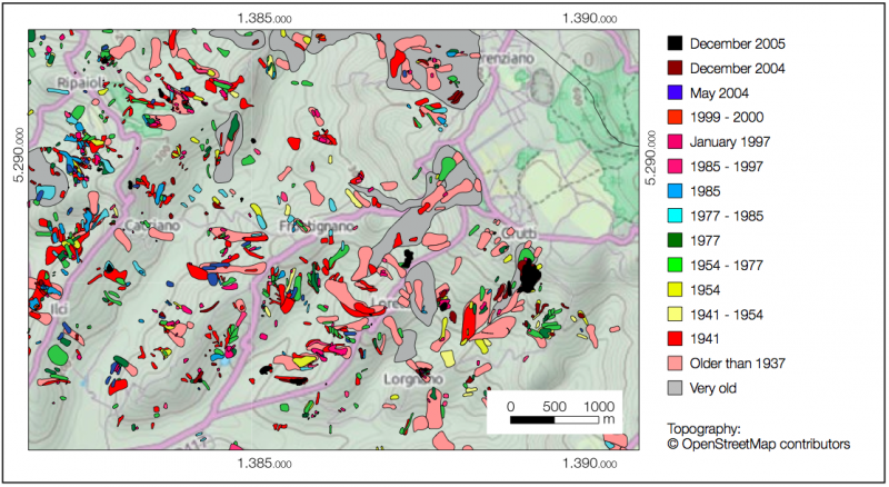
Landslide Inventory Map
(LIM)
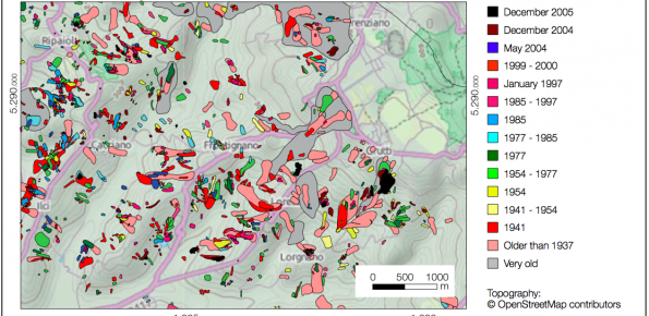
Description
A Landslide Inventory Map (LIM) shows the location, spatial extent and type of landslides in a regionUsers/Purpose
Civil Protection authorities use LIMs in the aftermath of an event for improved rescue and recovery operation.
Planning & development authorities use LIMs to identify areas affected by landslides, and so that dangerous areas can be avoided.
Transportation authorities & utility managers use LIMs to evaluate the impact of landslides on transportation or utility networks.
Agricultural & forest agencies use LIMs to assess the impact of landslides on crops and forests.
Scientists use LIMs for erosional studies and to determine the statistics of landslide areas.Methods and technologies
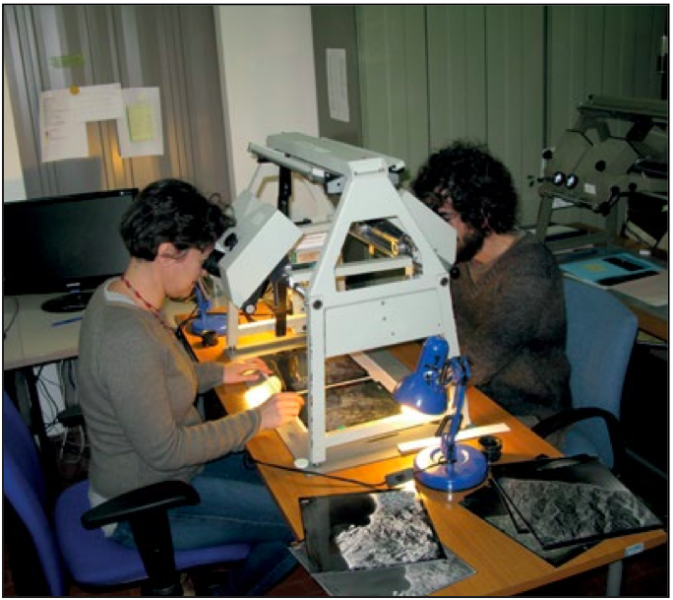
CNR-IRPI prepares LIMs at scales ranging from 1:25,000 (smaller scale) to 1:10,000 (larger scale) in periods ranging from days to months, depending on the extent and complexity of the study area. To prepare a LIM, CNR-IRPI needs stereoscopic satellite images or aerial photographs, and delivers the LIM in raster and vector formats.